Map showing location of Weiroa Stream


LINZ description: A north flowing stream to the east of the northern airstrip on Motiti Island. Motiti and Te Tumu Survey Districts.
Latitude: -37.615164
Longitude: 176.431188
Northing: 5831343.1
Easting: 1902863.1
Land District: South Auckland
Feat Type: Stream
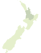

Scroll down to see a more detailed road map and below that a topographical map showing the location of Weiroa Stream. The road map has been supplied by openstreetmap and the topographical map of Weiroa Stream has been supplied by Land Information New Zealand (LINZ).

Yes you can use the top static map for you school/university project or personal website with a link back. Contact me for any commercial use.
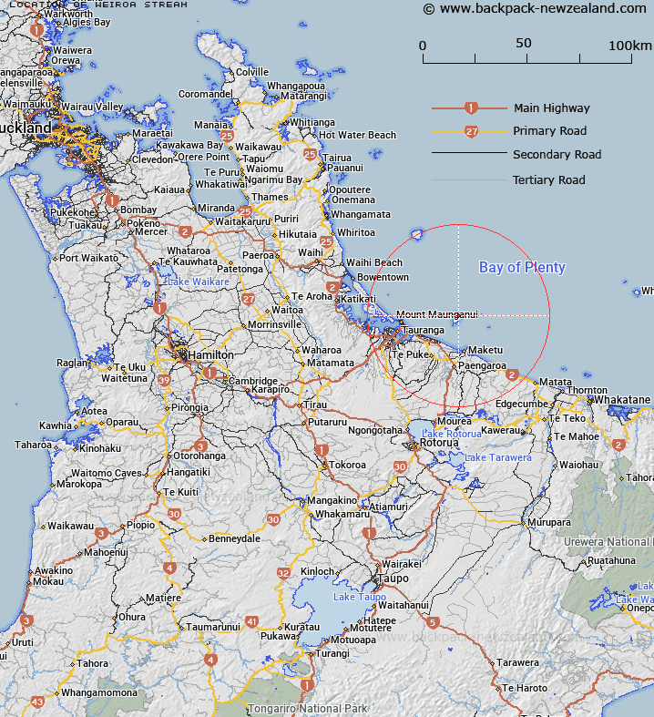
Weiroa Stream Map New Zealand


New Zealand places in our database
[ A ] [ B ] [ C ] [ D ] [ E ] [ F ] [ G ] [ H ] [ I ] [ J ] [ K ] [ L ] [ M ] [ N ] [ O ] [ P ] [ Q ] [ R ] [ S ] [ T ] [ U ] [ V ] [ W ] [ X ] [ Y ] [ Z ]


Closest 20 Streams to Weiroa Stream

Tumu Stream ( 0.44km )   Waihi Stream ( 0.45km )   Wairere Stream ( 3.33km )   Raparapahoe Canal ( 18.76km )   Kaituna River ( 18.99km )   Pukehina Canal ( 19.52km )   Wharere Canal ( 20.89km )   Kaikokopu Canal ( 21.16km )   Pongakawa Canal ( 21.4km )   Kaiate Stream ( 22.63km )   Otawera Stream ( 23.19km )   Waitao Stream ( 23.26km )   Ohineangaanga Stream ( 23.39km )   Waikoura Stream ( 23.6km )   Pakipaki Stream ( 23.7km )   Parawhenuamea Stream ( 23.7km )   Waiari Stream ( 23.79km )   Parawhenuamea Stream ( 24.04km )   Mangatoetoe Stream ( 24.06km )   Kirikiri Stream ( 24.61km )   Arateka Stream ( 24.79km )   Owairoa Stream ( 24.84km )   Waikokoi Stream ( 25.05km )   Raparapahoe Stream ( 25.32km )   Otumanga Stream ( 25.88km )   Puanene Stream ( 26.35km )   Kaitemako Stream ( 26.98km )   Wairapukao Stream ( 26.99km )   Wairapukau Stream ( 26.99km )   Pekahinemata Stream ( 27.49km )   Te Raho-o-Totokau Stream ( 28.02km )   Otapu Creek ( 28.47km )   Hunters Creek ( 28.47km )   Pukekonui Stream ( 28.77km )   Kirikiri Stream ( 28.89km )   Ohui Stream ( 29.7km )   Pongakawa Stream ( 29.8km )   Waimapu Stream ( 30.39km )   Wharere Stream ( 30.48km )   Mangarewarewa Stream ( 30.89km )