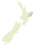
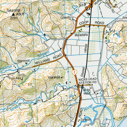
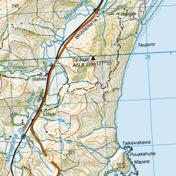
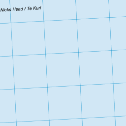
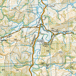
Map showing location of Waiwhero
LINZ description: Coastal locality feature, 3km South-west of Young Nicks Head. Turanganui Survey District.
Latitude: -38.774848
Longitude: 177.945886
Northing: 5696576.2
Easting: 2029742.8
Land District: Gisborne
Feat Type: Locality
Latitude: -38.774848
Longitude: 177.945886
Northing: 5696576.2
Easting: 2029742.8
Land District: Gisborne
Feat Type: Locality
Scroll down to see a more detailed road map and below that a topographical map showing the location of Waiwhero. The road map has been supplied by openstreetmap and the topographical map of Waiwhero has been supplied by Land Information New Zealand (LINZ).
Yes you can use the top static map for you school/university project or personal website with a link back. Contact me for any commercial use.


Leaflet | Map data © OpenStreetMap contributors
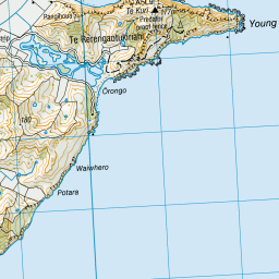
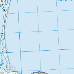
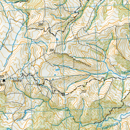
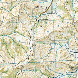
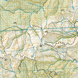
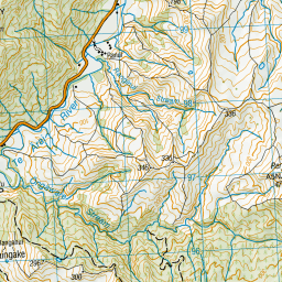
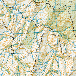

Leaflet | Sourced from LINZ. CC BY 4.0
[ A ] [ B ] [ C ] [ D ] [ E ] [ F ] [ G ] [ H ] [ I ] [ J ] [ K ] [ L ] [ M ] [ N ] [ O ] [ P ] [ Q ] [ R ] [ S ] [ T ] [ U ] [ V ] [ W ] [ X ] [ Y ] [ Z ]