Map showing location of Waipare Redwoods Scenic Reserve
LINZ description: As shown in the Ngati Porou Deed of Settlement Plan OTS-526-14. Conservation Unit Number 80647. NZTopo50 BF44-Tolaga Bay, GR 635 587. Located between the Hikuwai River and Mawhai Point. No longer a CPA name and so is discontinued. Former NZ Gazette 22 January 1987, No. 7, page 204.
Latitude: -38.232533
Longitude: 178.256005
Northing: 5755302.2
Easting: 2060154.3
Land District: Gisborne
Feat Type: Scenic Reserve
Latitude: -38.232533
Longitude: 178.256005
Northing: 5755302.2
Easting: 2060154.3
Land District: Gisborne
Feat Type: Scenic Reserve
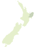
Scroll down to see a more detailed road map and below that a topographical map showing the location of Waipare Redwoods Scenic Reserve. The road map has been supplied by openstreetmap and the topographical map of Waipare Redwoods Scenic Reserve has been supplied by Land Information New Zealand (LINZ).
Yes you can use the top static map for you school/university project or personal website with a link back. Contact me for any commercial use.

Leaflet | Map data © OpenStreetMap contributors
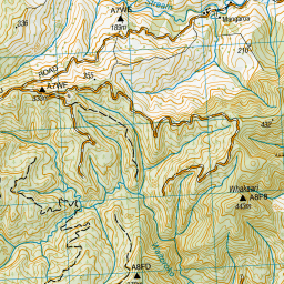

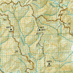

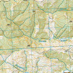


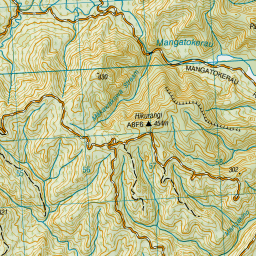


Leaflet | Sourced from LINZ. CC BY 4.0
[ A ] [ B ] [ C ] [ D ] [ E ] [ F ] [ G ] [ H ] [ I ] [ J ] [ K ] [ L ] [ M ] [ N ] [ O ] [ P ] [ Q ] [ R ] [ S ] [ T ] [ U ] [ V ] [ W ] [ X ] [ Y ] [ Z ]


