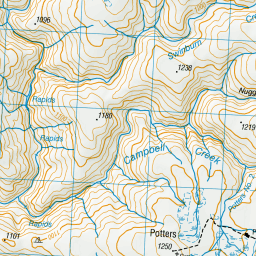
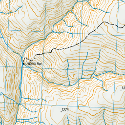
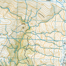
Map showing location of Potters No. 2


LINZ description: Feature shown on: NZMS260 F43 Edition 1 1993
Latitude: -45.4225
Longitude: 169.141139
Northing: 4962866.6
Easting: 1298109.4
Land District: Southland
Feat Type: Stream


Scroll down to see a more detailed road map and below that a topographical map showing the location of Potters No. 2. The road map has been supplied by openstreetmap and the topographical map of Potters No. 2 has been supplied by Land Information New Zealand (LINZ).

Yes you can use the top static map for you school/university project or personal website with a link back. Contact me for any commercial use.

Potters No. 2 Map New Zealand


New Zealand places in our database
[ A ] [ B ] [ C ] [ D ] [ E ] [ F ] [ G ] [ H ] [ I ] [ J ] [ K ] [ L ] [ M ] [ N ] [ O ] [ P ] [ Q ] [ R ] [ S ] [ T ] [ U ] [ V ] [ W ] [ X ] [ Y ] [ Z ]


Closest 20 Streams to Potters No. 2

Campbell Creek ( 1.62km )   Swinburn Creek ( 2.24km )   Noisy or Boulder Creek ( 7.54km )   Deep Creek ( 7.71km )   Little Pomahaka River ( 9.23km )   Doctor Hydes Water Race ( 9.25km )   Gorge Creek ( 10.21km )   Chasm Creek ( 10.22km )   Hut Creek ( 10.38km )   Last Chance Co. Water Race ( 10.71km )   Shingle Creek ( 10.87km )   Island Creek ( 11.17km )   Coal Creek ( 11.46km )   Washpool Creek ( 12.12km )   Elbow Creek ( 12.42km )   Waikaia River East Branch ( 12.64km )   Coal Creek ( 12.87km )   Obelisk Creek ( 13.77km )   Gorge Creek ( 13.82km )   Waikaia River West Branch ( 14.3km )   Fourteen Mile Creek ( 14.74km )   Bullock Creek ( 14.75km )   Post Office Creek ( 15.34km )   Camerons Creek ( 15.71km )   Blue Lake Creek ( 15.85km )   Little Welshmans Creek ( 16.88km )   Cave Creek ( 17.04km )   Welshmans Creek ( 17.24km )   Gem Creek ( 17.31km )   Rough Creek ( 17.46km )   Conroys Creek ( 17.7km )   Butchers Creek ( 17.71km )   Butchers Creek ( 17.73km )   Aldinga Creek ( 18.8km )   Whitecoomb Creek ( 19.07km )   Charcoal Creek ( 19.19km )   Rough Creek ( 19.73km )   Jordan or Black Creek ( 20.33km )   Black Jacks Creek ( 20.61km )   Laurel Creek ( 20.61km )