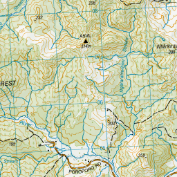
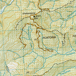
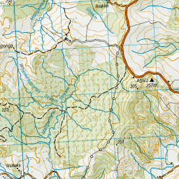
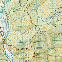
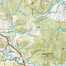
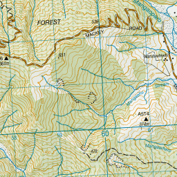
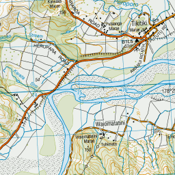
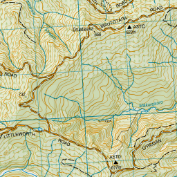
Map showing location of Papahina Stream
LINZ description: Tributary of Waiapu River.
Latitude: -37.789049
Longitude: 178.307686
Northing: 5804300
Easting: 2067500
Land District: Gisborne
Feat Type: Stream
Latitude: -37.789049
Longitude: 178.307686
Northing: 5804300
Easting: 2067500
Land District: Gisborne
Feat Type: Stream

Scroll down to see a more detailed road map and below that a topographical map showing the location of Papahina Stream. The road map has been supplied by openstreetmap and the topographical map of Papahina Stream has been supplied by Land Information New Zealand (LINZ).
Yes you can use the top static map for you school/university project or personal website with a link back. Contact me for any commercial use.


Leaflet | Map data © OpenStreetMap contributors

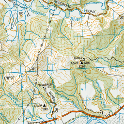
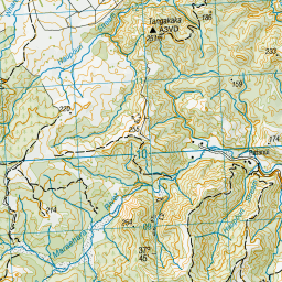
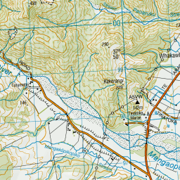
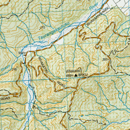
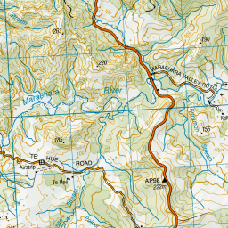
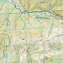
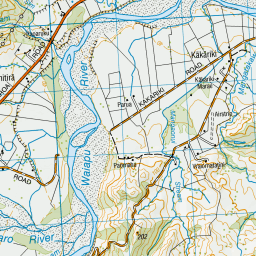
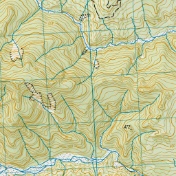
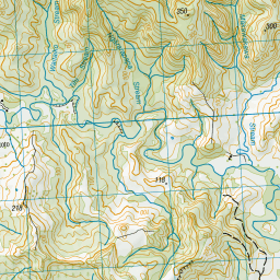
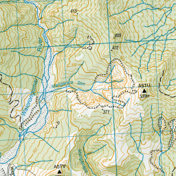
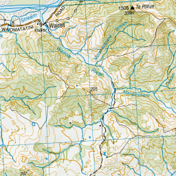

Leaflet | Sourced from LINZ. CC BY 4.0
[ A ] [ B ] [ C ] [ D ] [ E ] [ F ] [ G ] [ H ] [ I ] [ J ] [ K ] [ L ] [ M ] [ N ] [ O ] [ P ] [ Q ] [ R ] [ S ] [ T ] [ U ] [ V ] [ W ] [ X ] [ Y ] [ Z ]