Map showing location of No. 6 Stream


LINZ description: Feature shown on: NZMS260 T12 Edition 3 1991 Limited Revision 1996
Latitude: -37.100611
Longitude: 175.678722
Northing: 5890608.3
Easting: 1838051.6
Land District: South Auckland
Feat Type: Stream
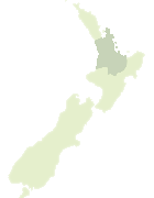

Scroll down to see a more detailed road map and below that a topographical map showing the location of No. 6 Stream. The road map has been supplied by openstreetmap and the topographical map of No. 6 Stream has been supplied by Land Information New Zealand (LINZ).

Yes you can use the top static map for you school/university project or personal website with a link back. Contact me for any commercial use.
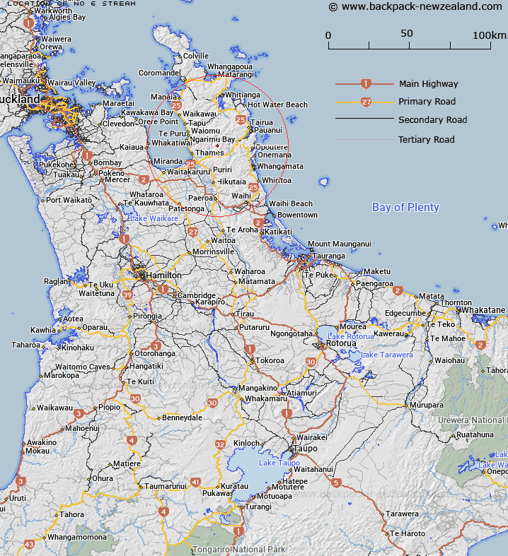
No. 6 Stream Map New Zealand


New Zealand places in our database
[ A ] [ B ] [ C ] [ D ] [ E ] [ F ] [ G ] [ H ] [ I ] [ J ] [ K ] [ L ] [ M ] [ N ] [ O ] [ P ] [ Q ] [ R ] [ S ] [ T ] [ U ] [ V ] [ W ] [ X ] [ Y ] [ Z ]


Closest 20 Streams to No. 6 Stream

No. 10 Stream ( 0.56km )   ?pango Stream ( 1.18km )   Opango Stream ( 1.18km )   Junction Stream ( 1.32km )   Taoraukura Stream ( 1.32km )   Opango Stream ( 1.55km )   Totara Stream ( 1.55km )   Hihi Stream ( 1.64km )   Blackberry Camp Stream ( 2.25km )   Gibraltar Stream ( 2.62km )   Sisters Stream ( 2.76km )   Marorauririki Stream ( 2.84km )   Tarawaere Stream ( 3.43km )   Kauaeranga River ( 3.63km )   Atuatumoe Stream ( 3.99km )   Brunton Stream ( 3.99km )   Walker Stream ( 4.1km )   Russek Creek ( 4.19km )   Paton Stream ( 4.27km )   Third Branch ( 4.35km )   Culpan Stream ( 4.48km )   Larkin Stream ( 4.48km )   Piraunui Stream ( 4.49km )   Colorado Stream ( 4.53km )   Waiwawa Stream ( 4.58km )   Waiora Stream ( 4.58km )   Wainora Stream ( 4.58km )   Second Branch ( 4.63km )   Hotoritori Stream ( 4.89km )   Ngarua Stream ( 4.96km )   Waikato Stream ( 5.07km )   Moyle Stream ( 5.1km )   Camp Stream ( 5.17km )   Webb Creek ( 5.2km )   Shag Stream ( 5.29km )   Coulter Stream ( 5.3km )   Cadigan Stream ( 5.53km )   Whangaiterenga Stream ( 5.89km )   Scots Stream ( 6.19km )   Fourth Branch ( 6.31km )