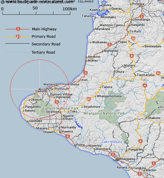
Map showing location of Ngā Motu/Sugar Loaf Islands
LINZ description: Island group, near Port Taranaki, New Plymouth. Currently known as Sugar Loaf Islands
Latitude: -39.053479
Longitude: 174.013551
Northing: 5676800
Easting: 1687700
Land District: Taranaki
Feat Type: Island
Latitude: -39.053479
Longitude: 174.013551
Northing: 5676800
Easting: 1687700
Land District: Taranaki
Feat Type: Island
Scroll down to see a more detailed road map and below that a topographical map showing the location of Ngā Motu/Sugar Loaf Islands. The road map has been supplied by openstreetmap and the topographical map of Ngā Motu/Sugar Loaf Islands has been supplied by Land Information New Zealand (LINZ).
Yes you can use the top static map for you school/university project or personal website with a link back. Contact me for any commercial use.
[ A ] [ B ] [ C ] [ D ] [ E ] [ F ] [ G ] [ H ] [ I ] [ J ] [ K ] [ L ] [ M ] [ N ] [ O ] [ P ] [ Q ] [ R ] [ S ] [ T ] [ U ] [ V ] [ W ] [ X ] [ Y ] [ Z ]