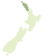
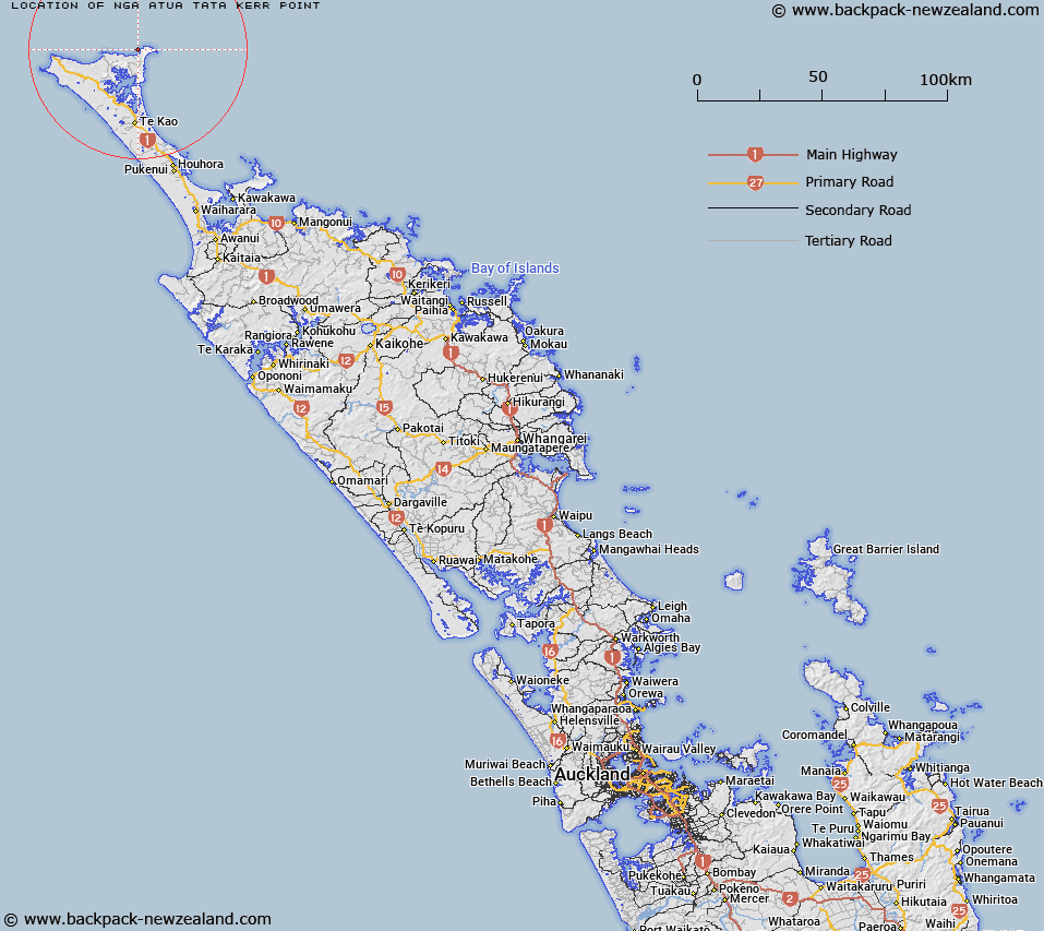
Map showing location of Ngā Atua Tātā / Kerr Point
LINZ description: A coastal point at the northern extremity of New Zealand, located at the northern end of Takapaukura / Tom Bowling Bay. NZTopo50-AT25 986928.
Latitude: -34.406062
Longitude: 172.985251
Northing: 6192819.1
Easting: 1598644.5
Land District: North Auckland
Feat Type: Point
Latitude: -34.406062
Longitude: 172.985251
Northing: 6192819.1
Easting: 1598644.5
Land District: North Auckland
Feat Type: Point
Scroll down to see a more detailed road map and below that a topographical map showing the location of Ngā Atua Tātā / Kerr Point. The road map has been supplied by openstreetmap and the topographical map of Ngā Atua Tātā / Kerr Point has been supplied by Land Information New Zealand (LINZ).
Yes you can use the top static map for you school/university project or personal website with a link back. Contact me for any commercial use.
[ A ] [ B ] [ C ] [ D ] [ E ] [ F ] [ G ] [ H ] [ I ] [ J ] [ K ] [ L ] [ M ] [ N ] [ O ] [ P ] [ Q ] [ R ] [ S ] [ T ] [ U ] [ V ] [ W ] [ X ] [ Y ] [ Z ]