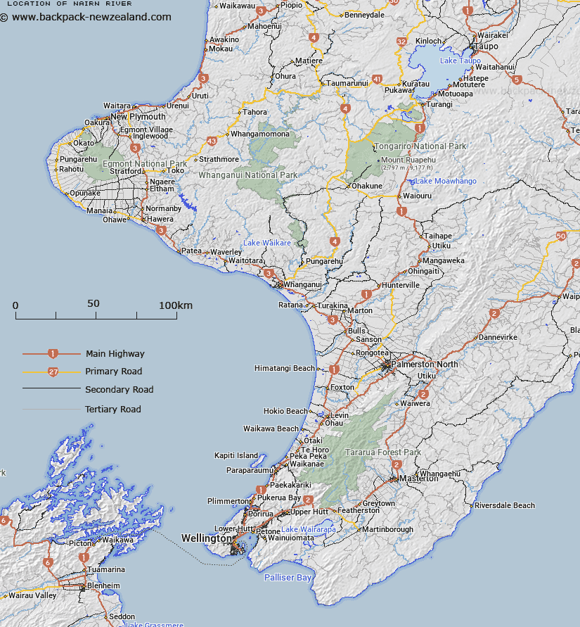
Map showing location of Nairn River


LINZ description: River running north to Waitangi Bay, Chatham Island
Latitude: -44.001584
Longitude: -176.558018
Northing: 0
Easting: 0
Land District: Wellington
Feat Type: Stream


Scroll down to see a more detailed road map and below that a topographical map showing the location of Nairn River. The road map has been supplied by openstreetmap and the topographical map of Nairn River has been supplied by Land Information New Zealand (LINZ).

Yes you can use the top static map for you school/university project or personal website with a link back. Contact me for any commercial use.
Nairn River Map New Zealand


New Zealand places in our database
[ A ] [ B ] [ C ] [ D ] [ E ] [ F ] [ G ] [ H ] [ I ] [ J ] [ K ] [ L ] [ M ] [ N ] [ O ] [ P ] [ Q ] [ R ] [ S ] [ T ] [ U ] [ V ] [ W ] [ X ] [ Y ] [ Z ]


Closest 20 Streams to Nairn River

Mangahau Stream ( 1.91km )   Tauaropa Stream ( 3.42km )   Matakatau Creek ( 3.56km )   Wairarapa Creek ( 3.98km )   Porua Creek ( 4.1km )   Te Mata o Pakihau Stream ( 5.03km )   Mangape Creek ( 5.81km )   Tauraropa Creek ( 6.16km )   Makara River ( 7.4km )   Awatotara Creek ( 7.52km )   Awamata Stream ( 7.56km )   Te Awainanga River ( 7.77km )   Mangatu Stream ( 8.31km )   Kiringe Creek ( 8.69km )   Mangahou Creek ( 8.73km )   Little Awatotara Creek ( 9.24km )   Waterfall Creek ( 9.25km )   Tuku a tamatea River ( 9.5km )   Awapauka Creek ( 9.84km )   Kahiti Creek ( 10.25km )   Moriori Creek ( 10.81km )   Gillespie Creek ( 10.98km )   Te One Creek ( 12.19km )   Kawhaki Creek ( 12.52km )   Waipurua Creek ( 13.11km )   Hawaiki Creek ( 15.97km )   Cloughs Creek ( 17.32km )   Waitamaki Creek ( 18.75km )   Oringi Creek ( 21.33km )   Waimahana Creek ( 21.86km )   Nukuau Creek ( 22.4km )   Matanginui Creek ( 23.06km )   Blind Jims Creek ( 24.02km )   Stony Creek ( 24.24km )   Waipapa Creek ( 24.55km )   Pounui Creek ( 24.91km )   Te Moko Creek ( 27.16km )   Takehanga Stream ( 27.71km )   Ngatikitiki Stream ( 27.91km )   Maku Creek ( 28.1km )