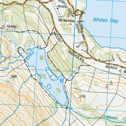
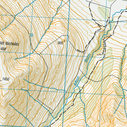
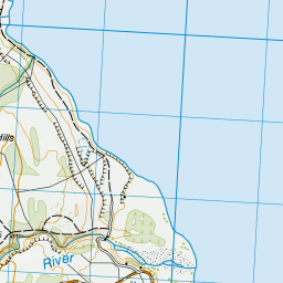
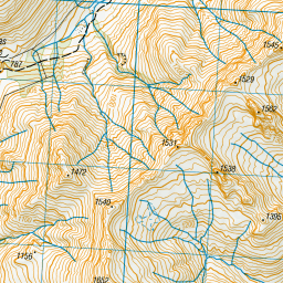
Map showing location of Lagoon Creek


LINZ description: Feature shown on: NZMS260 E42 Edition 1 1992 Limited Revision 1996
Latitude: -45.119163
Longitude: 168.440955
Northing: 4993692.7
Easting: 1241424.4
Land District: Southland
Feat Type: Stream


Scroll down to see a more detailed road map and below that a topographical map showing the location of Lagoon Creek. The road map has been supplied by openstreetmap and the topographical map of Lagoon Creek has been supplied by Land Information New Zealand (LINZ).

Yes you can use the top static map for you school/university project or personal website with a link back. Contact me for any commercial use.
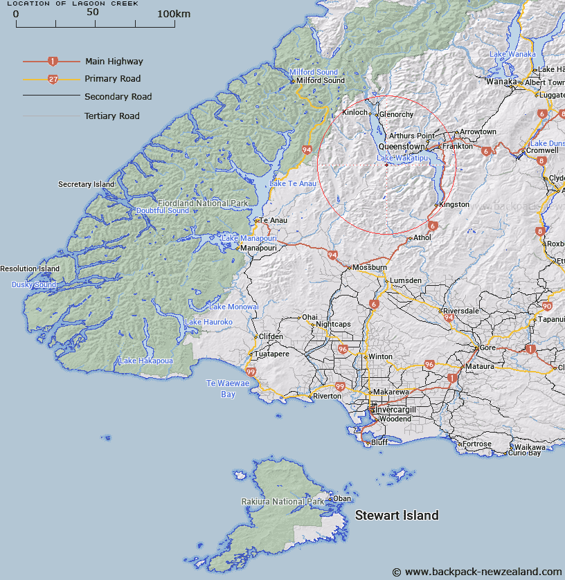
Lagoon Creek Map New Zealand


New Zealand places in our database
[ A ] [ B ] [ C ] [ D ] [ E ] [ F ] [ G ] [ H ] [ I ] [ J ] [ K ] [ L ] [ M ] [ N ] [ O ] [ P ] [ Q ] [ R ] [ S ] [ T ] [ U ] [ V ] [ W ] [ X ] [ Y ] [ Z ]


Closest 20 Streams to Lagoon Creek

Afton Burn ( 2.43km )   Georges Creek ( 4.49km )   Afton Burn East Branch ( 5.29km )   Station Burn ( 5.73km )   Mick O'Day ( 5.91km )   Beethams Creek ( 6.89km )   Von River ( 7.5km )   Hut Burn ( 9.86km )   Walter Peak Creek ( 10.45km )   Killiecrankie Creek ( 10.49km )   Twelve Mile Creek or Few Creek ( 10.62km )   McKinlays Creek ( 10.63km )   Cascade Creek ( 11.21km )   Wither Creek ( 11.27km )   Disputed Creek ( 11.98km )   Sandys Creek ( 12.45km )   Eight Mile Creek or Close Burn ( 12.9km )   Twenty Four Mile Creek ( 13.46km )   Von River North Branch ( 13.67km )   Trench Burn ( 13.72km )   Von River South Branch ( 13.94km )   White Burn ( 13.97km )   Lochy River ( 14.12km )   Seven Mile Creek ( 14.2km )   Saint Marys Creek ( 14.56km )   Moke Creek West Branch ( 14.93km )   Reidys Creek ( 14.95km )   Five Mile Creek ( 15.45km )   Bush Creek ( 15.52km )   Path Burn ( 15.86km )   Bushy Creek ( 16.2km )   Moke Creek Right Hand Branch ( 17.02km )   Simpson Creek or Twenty Five Mile Creek ( 17.17km )   Black Spur Creek ( 17.65km )   Two Mile Creek ( 17.97km )   Pond Burn ( 18.19km )   Collins Creek ( 18.43km )   Geordies Creek ( 18.45km )   Sly Burn ( 18.51km )   One Mile Creek ( 18.54km )