Map showing location of Kawarau Gorge Recreation Reserve
LINZ description: S.35 NZGB Act 2008 validation
Latitude: -45.015313
Longitude: 169.061899
Northing: 5007800
Easting: 1289700
Land District: Otago
Feat Type: Recreation Reserve
Latitude: -45.015313
Longitude: 169.061899
Northing: 5007800
Easting: 1289700
Land District: Otago
Feat Type: Recreation Reserve
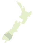
Scroll down to see a more detailed road map and below that a topographical map showing the location of Kawarau Gorge Recreation Reserve. The road map has been supplied by openstreetmap and the topographical map of Kawarau Gorge Recreation Reserve has been supplied by Land Information New Zealand (LINZ).
Yes you can use the top static map for you school/university project or personal website with a link back. Contact me for any commercial use.


Leaflet | Map data © OpenStreetMap contributors
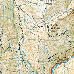
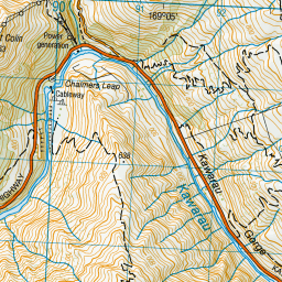
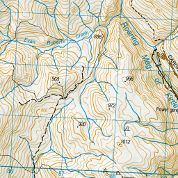
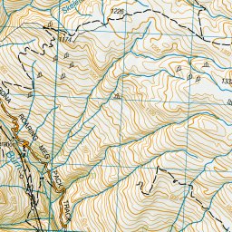
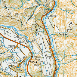
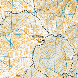
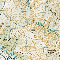
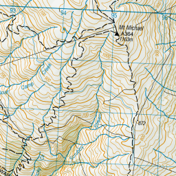
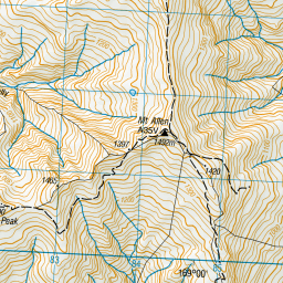
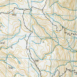
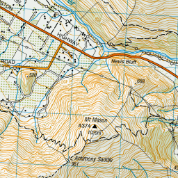
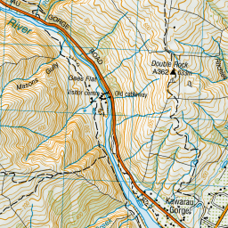
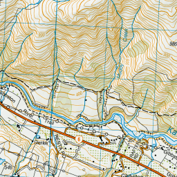
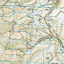
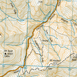
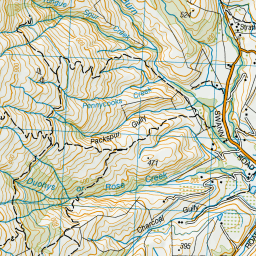
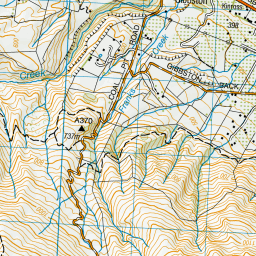
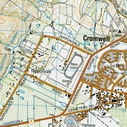

Leaflet | Sourced from LINZ. CC BY 4.0
[ A ] [ B ] [ C ] [ D ] [ E ] [ F ] [ G ] [ H ] [ I ] [ J ] [ K ] [ L ] [ M ] [ N ] [ O ] [ P ] [ Q ] [ R ] [ S ] [ T ] [ U ] [ V ] [ W ] [ X ] [ Y ] [ Z ]