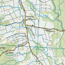
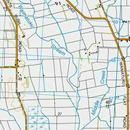
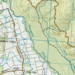
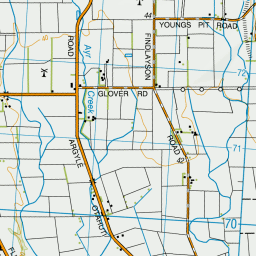
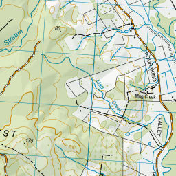
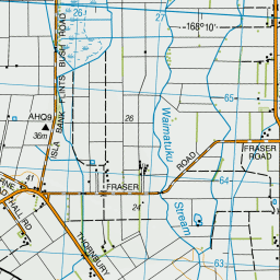
Map showing location of Invercargill-Wairio Railway
LINZ description: Southland Land District, from Invercargill to Ohai, NZTopo50 CG10-Invercargill, GR 423 495, CG09-Riverton / Aparima, to CF09-Nightcaps GR 074 008 NZTM2000: 4900800 N 1207400 ; NZGD2000: 45 56 02 S 167 56 08 E).
Latitude: -46.242136
Longitude: 168.067299
Northing: 4867212
Easting: 1219739.2
Land District: Southland
Feat Type: Railway Line
Latitude: -46.242136
Longitude: 168.067299
Northing: 4867212
Easting: 1219739.2
Land District: Southland
Feat Type: Railway Line
![](/maps/all/in-small.gif)
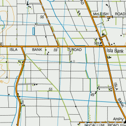
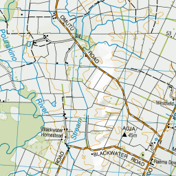
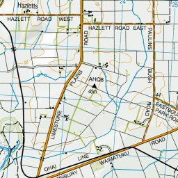
Scroll down to see a more detailed road map and below that a topographical map showing the location of Invercargill-Wairio Railway. The road map has been supplied by openstreetmap and the topographical map of Invercargill-Wairio Railway has been supplied by Land Information New Zealand (LINZ).
Yes you can use the top static map for you school/university project or personal website with a link back. Contact me for any commercial use.
![Invercargill-Wairio Railway Map New Zealand](/maps/all/image/in-invercargill-wairio-railway-map-49931.png)
Leaflet | Map data © OpenStreetMap contributors
![](http://tiles-a.data-cdn.linz.govt.nz/services;key=c917d1f78e8e4bfe9c33ae3dbe5f89f4/tiles/v4/layer=50767/EPSG:3857/13/7919/5285.png)
![](http://tiles-b.data-cdn.linz.govt.nz/services;key=c917d1f78e8e4bfe9c33ae3dbe5f89f4/tiles/v4/layer=50767/EPSG:3857/13/7920/5285.png)
![](http://tiles-d.data-cdn.linz.govt.nz/services;key=c917d1f78e8e4bfe9c33ae3dbe5f89f4/tiles/v4/layer=50767/EPSG:3857/13/7919/5284.png)
![](http://tiles-a.data-cdn.linz.govt.nz/services;key=c917d1f78e8e4bfe9c33ae3dbe5f89f4/tiles/v4/layer=50767/EPSG:3857/13/7920/5284.png)
![](http://tiles-b.data-cdn.linz.govt.nz/services;key=c917d1f78e8e4bfe9c33ae3dbe5f89f4/tiles/v4/layer=50767/EPSG:3857/13/7919/5286.png)
![](http://tiles-c.data-cdn.linz.govt.nz/services;key=c917d1f78e8e4bfe9c33ae3dbe5f89f4/tiles/v4/layer=50767/EPSG:3857/13/7920/5286.png)
![](http://tiles-d.data-cdn.linz.govt.nz/services;key=c917d1f78e8e4bfe9c33ae3dbe5f89f4/tiles/v4/layer=50767/EPSG:3857/13/7918/5285.png)
![](http://tiles-c.data-cdn.linz.govt.nz/services;key=c917d1f78e8e4bfe9c33ae3dbe5f89f4/tiles/v4/layer=50767/EPSG:3857/13/7921/5285.png)
![](http://tiles-c.data-cdn.linz.govt.nz/services;key=c917d1f78e8e4bfe9c33ae3dbe5f89f4/tiles/v4/layer=50767/EPSG:3857/13/7918/5284.png)
![](http://tiles-b.data-cdn.linz.govt.nz/services;key=c917d1f78e8e4bfe9c33ae3dbe5f89f4/tiles/v4/layer=50767/EPSG:3857/13/7921/5284.png)
![](http://tiles-a.data-cdn.linz.govt.nz/services;key=c917d1f78e8e4bfe9c33ae3dbe5f89f4/tiles/v4/layer=50767/EPSG:3857/13/7918/5286.png)
![](http://tiles-d.data-cdn.linz.govt.nz/services;key=c917d1f78e8e4bfe9c33ae3dbe5f89f4/tiles/v4/layer=50767/EPSG:3857/13/7921/5286.png)
![](http://tiles-c.data-cdn.linz.govt.nz/services;key=c917d1f78e8e4bfe9c33ae3dbe5f89f4/tiles/v4/layer=50767/EPSG:3857/13/7917/5285.png)
![](http://tiles-d.data-cdn.linz.govt.nz/services;key=c917d1f78e8e4bfe9c33ae3dbe5f89f4/tiles/v4/layer=50767/EPSG:3857/13/7922/5285.png)
![](http://tiles-b.data-cdn.linz.govt.nz/services;key=c917d1f78e8e4bfe9c33ae3dbe5f89f4/tiles/v4/layer=50767/EPSG:3857/13/7917/5284.png)
![](http://tiles-c.data-cdn.linz.govt.nz/services;key=c917d1f78e8e4bfe9c33ae3dbe5f89f4/tiles/v4/layer=50767/EPSG:3857/13/7922/5284.png)
![](http://tiles-d.data-cdn.linz.govt.nz/services;key=c917d1f78e8e4bfe9c33ae3dbe5f89f4/tiles/v4/layer=50767/EPSG:3857/13/7917/5286.png)
![](http://tiles-a.data-cdn.linz.govt.nz/services;key=c917d1f78e8e4bfe9c33ae3dbe5f89f4/tiles/v4/layer=50767/EPSG:3857/13/7922/5286.png)
![](marker-shadow.png)
![](marker-icon.png)
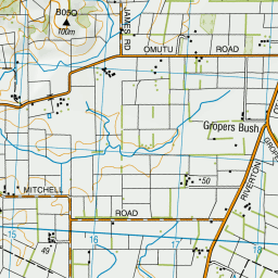
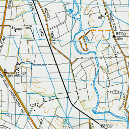
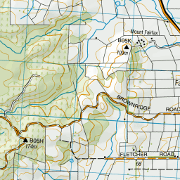
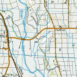
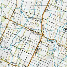
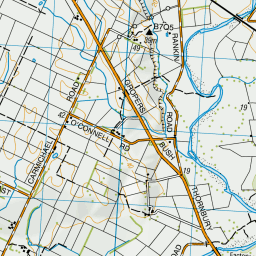
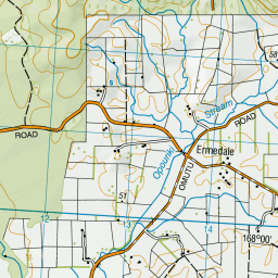
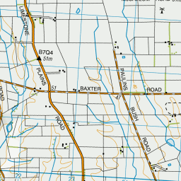
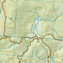
Leaflet | Sourced from LINZ. CC BY 4.0
[ A ] [ B ] [ C ] [ D ] [ E ] [ F ] [ G ] [ H ] [ I ] [ J ] [ K ] [ L ] [ M ] [ N ] [ O ] [ P ] [ Q ] [ R ] [ S ] [ T ] [ U ] [ V ] [ W ] [ X ] [ Y ] [ Z ]