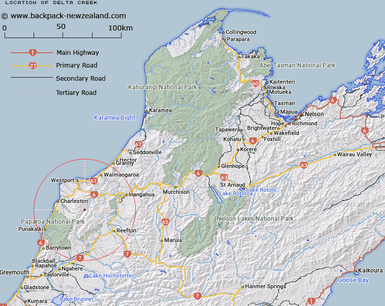
Map showing location of Delta Creek
LINZ description: Feature shown on: NZMS260 K30 Edition 2 1984
Latitude: -41.961333
Longitude: 171.637667
Northing: 5353619.4
Easting: 1487105.4
Land District: Nelson
Feat Type: Stream
Latitude: -41.961333
Longitude: 171.637667
Northing: 5353619.4
Easting: 1487105.4
Land District: Nelson
Feat Type: Stream

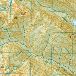
Scroll down to see a more detailed road map and below that a topographical map showing the location of Delta Creek. The road map has been supplied by openstreetmap and the topographical map of Delta Creek has been supplied by Land Information New Zealand (LINZ).
Yes you can use the top static map for you school/university project or personal website with a link back. Contact me for any commercial use.

Leaflet | Map data © OpenStreetMap contributors


Leaflet | Sourced from LINZ. CC BY 4.0
[ A ] [ B ] [ C ] [ D ] [ E ] [ F ] [ G ] [ H ] [ I ] [ J ] [ K ] [ L ] [ M ] [ N ] [ O ] [ P ] [ Q ] [ R ] [ S ] [ T ] [ U ] [ V ] [ W ] [ X ] [ Y ] [ Z ]


