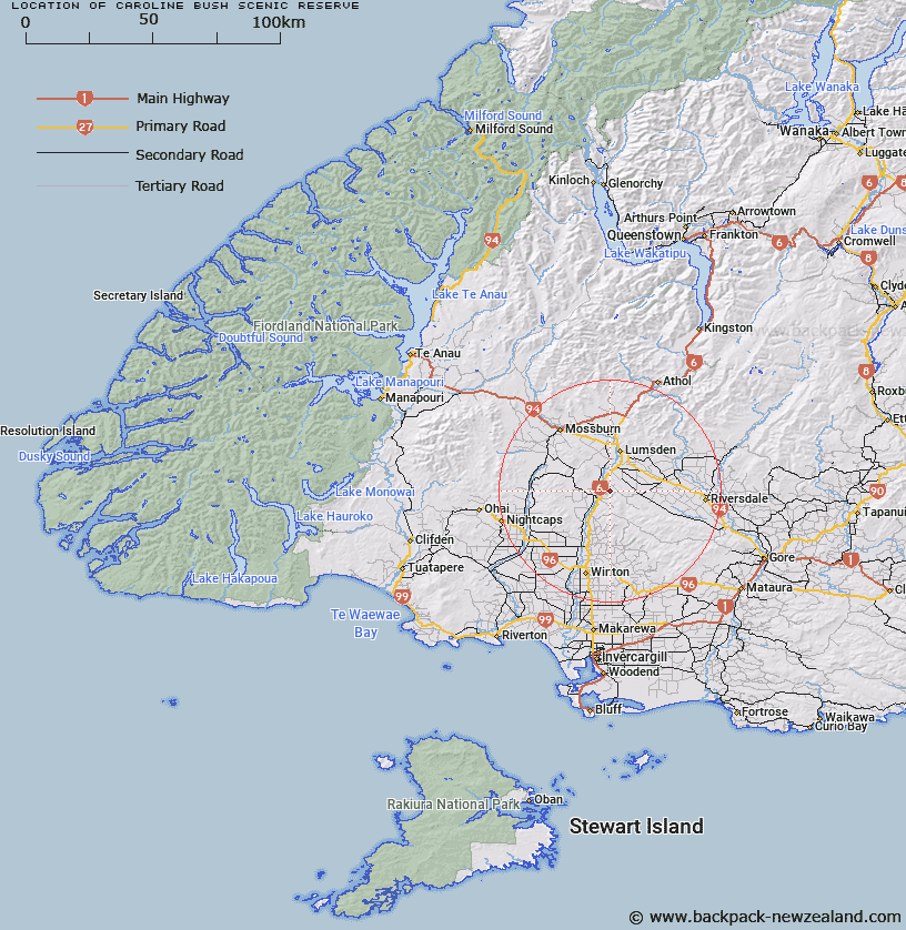
Map showing location of Caroline Bush Scenic Reserve
LINZ description: Caroline Bush Scenic Reserve is approximately 67 hectares of beech, podocarp and broadleaved forest on a gentle easterly slope. It is split into two blocks. One block has access adjacent to the Dipton-Balfour Road 7km northeast of Dipton. The second block can be accessed from Bell Road which is across private land.
Latitude: -45.868611
Longitude: 168.406667
Northing: 4910283
Easting: 1243498
Land District: Southland
Feat Type: Scenic Reserve
Latitude: -45.868611
Longitude: 168.406667
Northing: 4910283
Easting: 1243498
Land District: Southland
Feat Type: Scenic Reserve

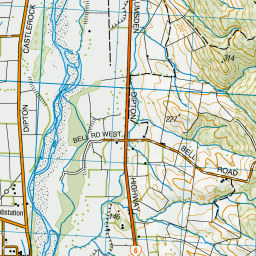
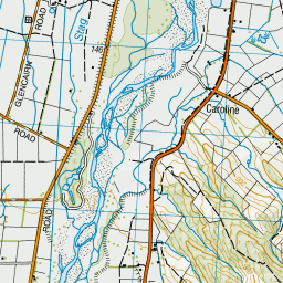
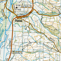
Scroll down to see a more detailed road map and below that a topographical map showing the location of Caroline Bush Scenic Reserve. The road map has been supplied by openstreetmap and the topographical map of Caroline Bush Scenic Reserve has been supplied by Land Information New Zealand (LINZ).
Yes you can use the top static map for you school/university project or personal website with a link back. Contact me for any commercial use.

Leaflet | Map data © OpenStreetMap contributors


Leaflet | Sourced from LINZ. CC BY 4.0
[ A ] [ B ] [ C ] [ D ] [ E ] [ F ] [ G ] [ H ] [ I ] [ J ] [ K ] [ L ] [ M ] [ N ] [ O ] [ P ] [ Q ] [ R ] [ S ] [ T ] [ U ] [ V ] [ W ] [ X ] [ Y ] [ Z ]


