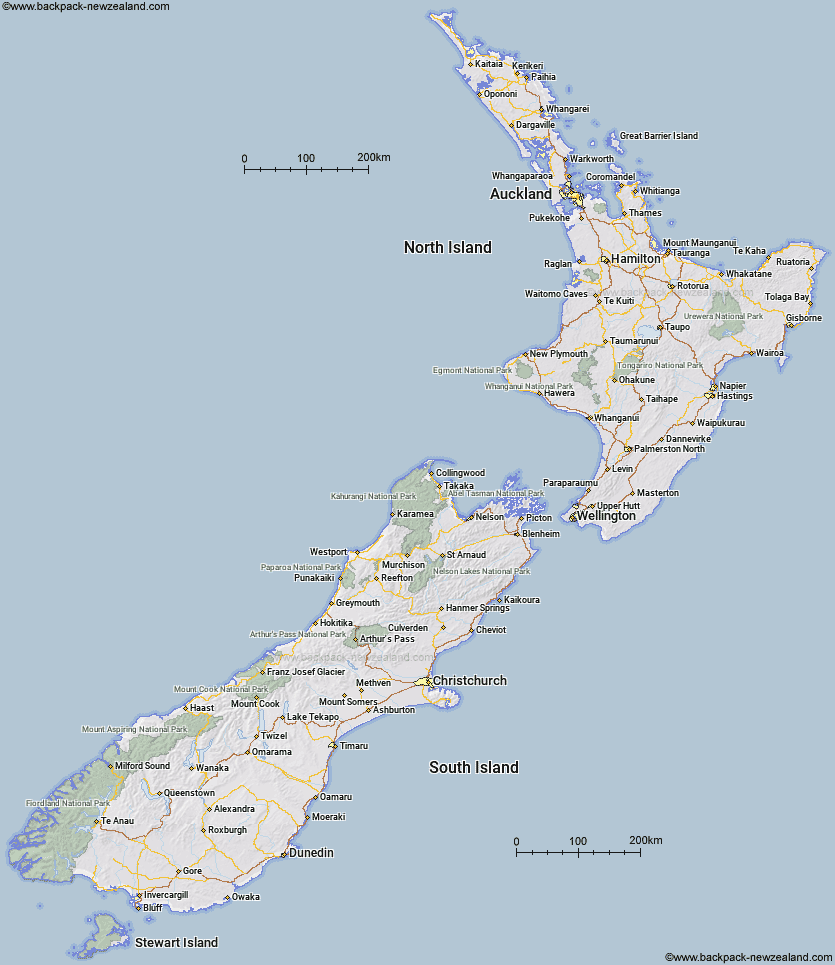
You can use this New Zealand map on your personal webpage to show where you travelled to. I reserve the right to ask you to remove this map if I believed it is used for profit in anyway.

For the geeks - this and my larger maps were made using a mixture of openstreetmap data, LINZ data and some other spatial data that I found on the internet. The longitude and latitude shape file data was extracted and was then dumped into a mysql database. I then wrote some simple PHP scripts using imageline (roads, rivers and coastline), imagefilledpolygon (lakes and national parks) and imagestring (names) and then did some maths to turn the latitude and longitude points into x and y pixel coordinates.
Contact me if you would like a customised map showing your place of business etc or any other enquiries
Links
LINZ : where the databases were sourced.