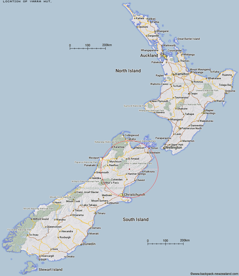
Topo Map showing location of Yarra Hut
This information is sourced from DoC, LINZ and Openstreetmap. Some of the hut photos are mine and the rest are from DoC. I will be adding an upload feature soon so people can photos of .Yarra Hut.
Latitude: -42.2888976454
Longitude: 172.996703053
Location:
Type of Hut:
Map: Topo Map | Road Map
Does this hut still exist? Have any more information? Contact
Latitude: -42.2888976454
Longitude: 172.996703053
Location:
Type of Hut:
Map: Topo Map | Road Map
Does this hut still exist? Have any more information? Contact
Scroll down to see a topographical map and road map showing the location of Yarra Hut
[ A ] [ B ] [ C ] [ D ] [ E ] [ F ] [ G ] [ H ] [ I ] [ J ] [ K ] [ L ] [ M ] [ N ] [ O ] [ P ] [ Q ] [ R ] [ S ] [ T ] [ U ] [ V ] [ W ] [ Y ] [ Z ]
Closest 20 Huts to Yarra Hut
These are as the crow fliesGuide Hut 6.83km Half Moon Hut 11.79km Cloudy Hut 17.06km Red Gate Hut 18km Sedgemere Sleepout 18.83km Fowlers Hut 19.26km Island Gully Hut 21.18km Acheron Hut 21.38km Palmer Hut 21.7km Palmer Bivouac 22.02km Severn Hut 25.46km Stanley Vale Hut 27.83km Paske Hut 28.06km Lake McRae Hut 28.42km Lake Guyon Hut 28.64km Saxton Hut 28.95km Alfred Hut 29.22km Carters Yards Hut 29.4km Stone Jug Hut 31.15km Caroline Creek Bivouac 31.54km Begley Hut 32.68km Connors Creek Hut 32.84km Team Hut 33km Junction Hut 33.11km Scotties Hut 33.23km Old Bridge Hut 33.41km Pool Hut 33.51km Seymour Hut 33.91km Kahutara Bivouac 33.91km Black Spur Historic Hut 35.38km Christopher Hut 35.51km Top Leatham Hut 35.81km Stony Stream Bivouac 35.94km Christopher Cullers Hut 36.11km Upper Travers Hut 36.13km Branch Bivouac 36.32km Warden Hut 36.36km Munroe Hut 36.68km Tent Poles Hut 36.74km Jervois Hut 37.17km