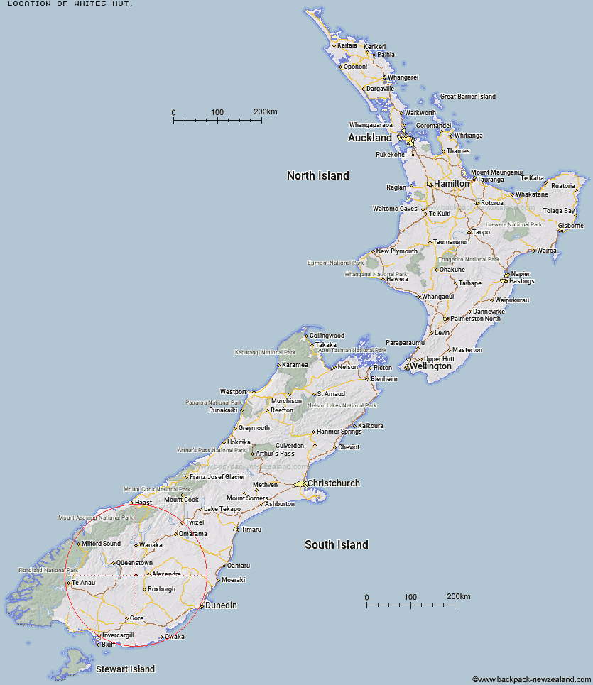
Topo Map showing location of Whites Hut
This information is sourced from DoC, LINZ and Openstreetmap. Some of the hut photos are mine and the rest are from DoC. I will be adding an upload feature soon so people can photos of .Whites Hut.
Latitude: -45.2641948669
Longitude: 169.134525284
Location:
Type of Hut:
Map: Topo Map | Road Map
Does this hut still exist? Have any more information? Contact
Latitude: -45.2641948669
Longitude: 169.134525284
Location:
Type of Hut:
Map: Topo Map | Road Map
Does this hut still exist? Have any more information? Contact
Scroll down to see a topographical map and road map showing the location of Whites Hut
[ A ] [ B ] [ C ] [ D ] [ E ] [ F ] [ G ] [ H ] [ I ] [ J ] [ K ] [ L ] [ M ] [ N ] [ O ] [ P ] [ Q ] [ R ] [ S ] [ T ] [ U ] [ V ] [ W ] [ Y ] [ Z ]
Closest 20 Huts to Whites Hut
These are as the crow fliesBoundary Hut 7.35km Old Woman Hut 8.01km Nicholsons Hut 10.66km Diggers Hut 13.38km McCrimmons Hut 14.87km Andrew Rees Hut 17.96km Potters Huts 18.11km Baileys Hut 18.57km Cairnmuir Musterer's Hut 19.02km Bush Huts 25.52km Christies Hut 25.72km Junction Hut 27.68km Two Mile Hut 27.84km Glen Roy Raceman's Hut 28.3km Blue Lake Huts 28.45km Titan Huts 33.63km Deep Creek Hut 34.16km Garston Ski Hut 36.84km Slate Hut 37.73km Junction Hut 37.74km Flaxy Hut 39.09km Meg Hut 39.19km Mud Hut 39.45km Mitchells Hut 39.74km Black Hut 39.74km Long Burn Hut 40km Dome Hut 41.38km Siberia Hut 41.48km Stronach Hut 41.91km Ross Hut 41.93km Kirtle Burn Hut 43.77km Robrosa Hut 45.47km Hyde Home Hut 47.74km Eight Mile Hut 47.79km Jim Baird Hut 48.45km Billy Hut 49.73km Sullivan Hut 49.83km Saint Marys Hut 50.17km Sam Summers Hut 53.07km Cowshed Hut 53.18km