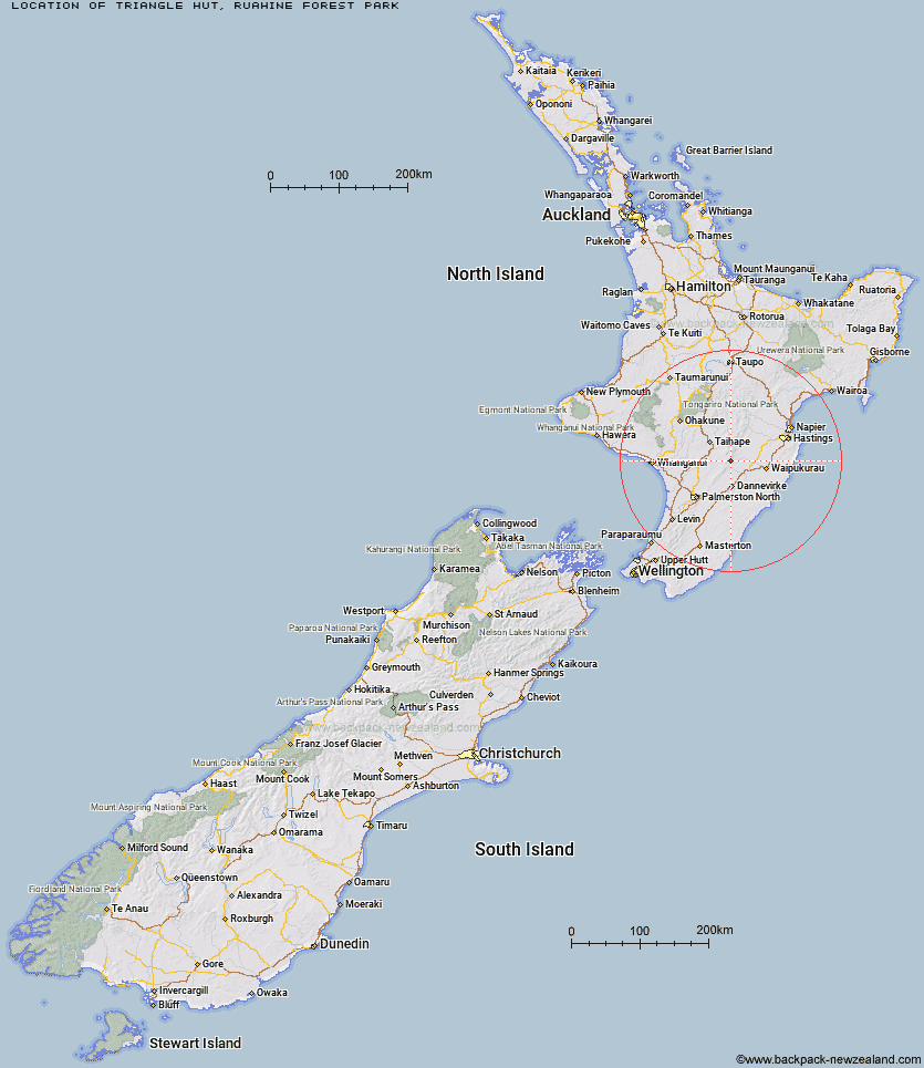
Topo Map showing location of Triangle Hut
This information is sourced from DoC, LINZ and Openstreetmap. Some of the hut photos are mine and the rest are from DoC. I will be adding an upload feature soon so people can photos of .Triangle Hut.
Basic info: standard six-bunk hut in the Manawatu region.
Latitude: -39.9044057389
Longitude: 176.075567707
Location: Ruahine Forest Park
Area: Manawatu/Whanganui
Type of Hut: Standard
Tracks: Renfrew Roadend to Table Flat Roadend
Map: BL36 Topo Map | Road Map
Does this hut still exist? Have any more information? Contact
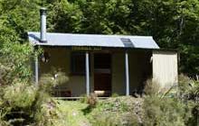
Image: DoC
Scroll down to see a topographical map and road map showing the location of Triangle Hut
[ A ] [ B ] [ C ] [ D ] [ E ] [ F ] [ G ] [ H ] [ I ] [ J ] [ K ] [ L ] [ M ] [ N ] [ O ] [ P ] [ Q ] [ R ] [ S ] [ T ] [ U ] [ V ] [ W ] [ Y ] [ Z ]
Closest 20 Huts to Triangle Hut
These are as the crow fliesIron Gate Hut 2.96km Howletts Hut 4.33km Rangiwahia Hut 5.11km Pourangaki Hut 5.11km Daphne Hut 5.94km Tarn Bivouac 6.29km Kelly Knight Hut 6.33km Longview Hut 6.57km Top Gorge Hut 7.43km Alice Nash Memorial Heritage Lodge 7.47km Toka Bivouac 8.76km Waterfall Hut 9.01km Awatere Hut 9.14km Hinerua Hut 9.32km Purity Hut 9.5km Smiths Stream Hut 10.16km Leon Kinvig Hut 11.09km Waikamaka Hut 11.46km Makaretu Hut 11.52km Happy Daze Hut 11.74km McKinnon Hut 13.75km Waipawa Forks Hut 14.5km Ngamoko Hut 14.69km Sunrise Hut 15.21km Crow Hut 15.3km Piripiri Hut 15.8km Top Maropea Hut 16.08km Triplex Hut 16.18km Kawhatau Base 16.28km Mid Pohangina Hut 17.04km Wakelings Hut 17.29km Cattle Creek Hut 17.99km Gold Creek Hut 18.95km Maropea Forks Hut 20.15km Sparrowhawk Bivouac 20.51km Norris Hut 20.53km Stanfield Hut 20.55km Otukota Hut 22.34km Traverse (A Frame) Hut 23.15km Diggers Hut 24.11km