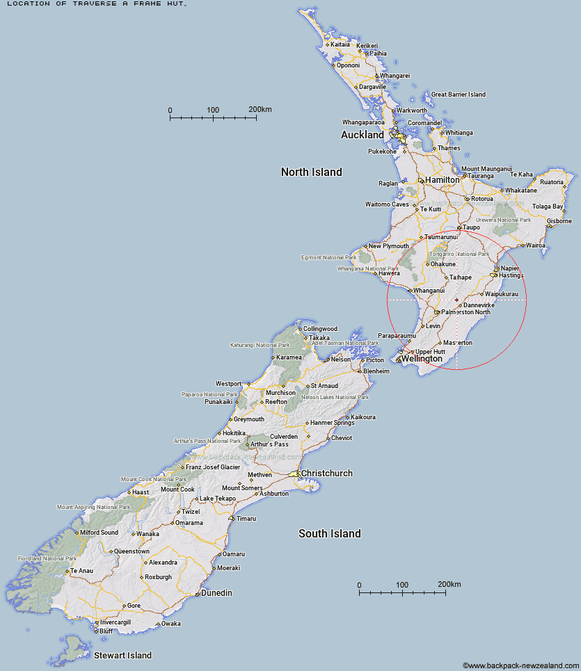
Topo Map showing location of Traverse (A Frame) Hut
This information is sourced from DoC, LINZ and Openstreetmap. Some of the hut photos are mine and the rest are from DoC. I will be adding an upload feature soon so people can photos of .Traverse (A Frame) Hut.
Latitude: -40.1071625806
Longitude: 176.014031289
Location:
Type of Hut:
Map: Topo Map | Road Map
Does this hut still exist? Have any more information? Contact
Latitude: -40.1071625806
Longitude: 176.014031289
Location:
Type of Hut:
Map: Topo Map | Road Map
Does this hut still exist? Have any more information? Contact
Scroll down to see a topographical map and road map showing the location of Traverse (A Frame) Hut
[ A ] [ B ] [ C ] [ D ] [ E ] [ F ] [ G ] [ H ] [ I ] [ J ] [ K ] [ L ] [ M ] [ N ] [ O ] [ P ] [ Q ] [ R ] [ S ] [ T ] [ U ] [ V ] [ W ] [ Y ] [ Z ]
Closest 20 Huts to Traverse (A Frame) Hut
These are as the crow fliesStanfield Hut 3.61km Diggers Hut 4.99km Mid Pohangina Hut 6.14km Cattle Creek Hut 6.23km Forks Hut 6.34km Te Ekaou Hut 7.46km Piripiri Hut 7.57km Ngamoko Hut 8.64km Kiritaki Hut 12.09km Leon Kinvig Hut 12.62km Makaretu Hut 14.49km Toka Bivouac 14.65km Happy Daze Hut 16.35km Alice Nash Memorial Heritage Lodge 16.94km Top Gorge Hut 17.35km Awatere Hut 18.5km Longview Hut 19.62km Iron Gate Hut 20.37km Triangle Hut 23.15km Rangiwahia Hut 24.06km Daphne Hut 24.26km Howletts Hut 24.5km Tarn Bivouac 27.22km Pourangaki Hut 28.21km Kelly Knight Hut 28.77km Hinerua Hut 30.34km Smiths Stream Hut 31.63km Waterfall Hut 32.09km Purity Hut 32.1km Waikamaka Hut 34.42km McKinnon Hut 36.84km Waipawa Forks Hut 36.94km Sunrise Hut 37.89km Triplex Hut 38.26km Crow Hut 38.31km Kawhatau Base 38.66km Top Maropea Hut 38.98km Wakelings Hut 40.42km Gold Creek Hut 41.45km Norris Hut 42.22km