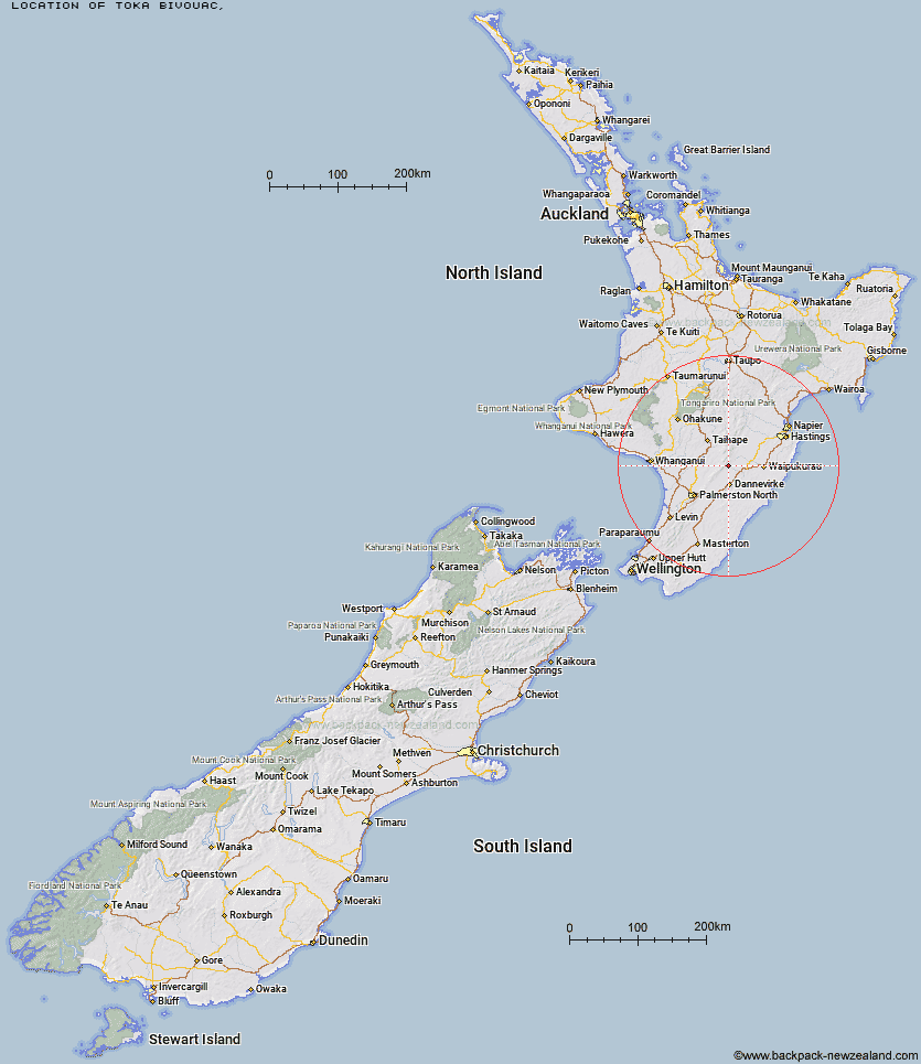
Topo Map showing location of Toka Bivouac
This information is sourced from DoC, LINZ and Openstreetmap. Some of the hut photos are mine and the rest are from DoC. I will be adding an upload feature soon so people can photos of .Toka Bivouac.
Latitude: -39.9831840619
Longitude: 176.072394493
Location:
Type of Hut:
Map: Topo Map | Road Map
Does this hut still exist? Have any more information? Contact
Latitude: -39.9831840619
Longitude: 176.072394493
Location:
Type of Hut:
Map: Topo Map | Road Map
Does this hut still exist? Have any more information? Contact
Scroll down to see a topographical map and road map showing the location of Toka Bivouac
[ A ] [ B ] [ C ] [ D ] [ E ] [ F ] [ G ] [ H ] [ I ] [ J ] [ K ] [ L ] [ M ] [ N ] [ O ] [ P ] [ Q ] [ R ] [ S ] [ T ] [ U ] [ V ] [ W ] [ Y ] [ Z ]
Closest 20 Huts to Toka Bivouac
These are as the crow fliesLeon Kinvig Hut 2.35km Top Gorge Hut 3.27km Makaretu Hut 4.36km Longview Hut 5.53km Alice Nash Memorial Heritage Lodge 5.64km Awatere Hut 5.82km Ngamoko Hut 6.04km Happy Daze Hut 6.09km Iron Gate Hut 6.39km Piripiri Hut 7.81km Mid Pohangina Hut 8.51km Triangle Hut 8.76km Cattle Creek Hut 9.23km Howletts Hut 9.9km Daphne Hut 9.91km Rangiwahia Hut 11.26km Stanfield Hut 11.84km Tarn Bivouac 12.65km Pourangaki Hut 13.87km Traverse (A Frame) Hut 14.65km Kelly Knight Hut 14.88km Hinerua Hut 15.84km Diggers Hut 16.42km Smiths Stream Hut 17.09km Waterfall Hut 17.51km Purity Hut 18.16km Forks Hut 18.39km Te Ekaou Hut 18.76km Waikamaka Hut 19.79km Waipawa Forks Hut 22.31km McKinnon Hut 22.49km Sunrise Hut 23.24km Triplex Hut 23.68km Crow Hut 24.07km Top Maropea Hut 24.33km Kawhatau Base 24.93km Wakelings Hut 25.88km Kiritaki Hut 26.28km Gold Creek Hut 26.82km Norris Hut 27.74km