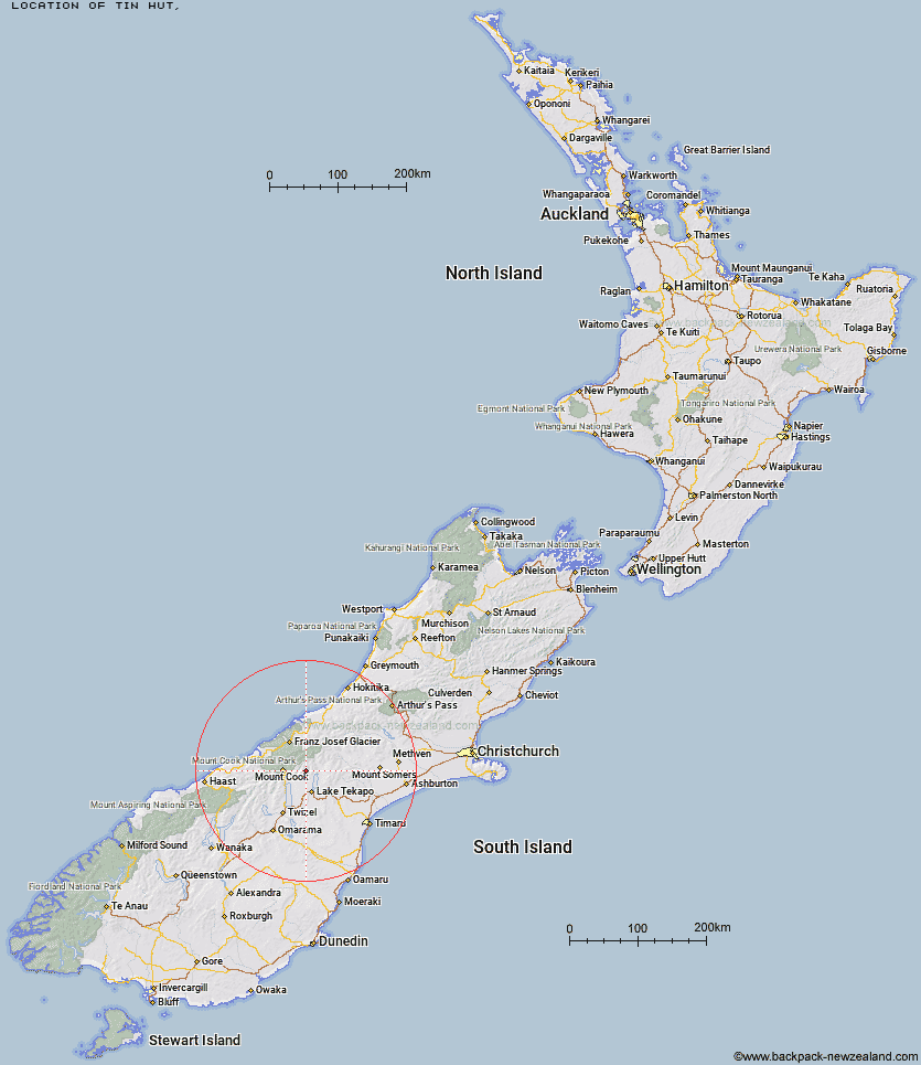
Topo Map showing location of Tin Hut
This information is sourced from DoC, LINZ and Openstreetmap. Some of the hut photos are mine and the rest are from DoC. I will be adding an upload feature soon so people can photos of .Tin Hut.
Latitude: -43.7387229417
Longitude: 170.397940833
Location:
Type of Hut:
Map: Topo Map | Road Map
Does this hut still exist? Have any more information? Contact
Latitude: -43.7387229417
Longitude: 170.397940833
Location:
Type of Hut:
Map: Topo Map | Road Map
Does this hut still exist? Have any more information? Contact
Scroll down to see a topographical map and road map showing the location of Tin Hut
[ A ] [ B ] [ C ] [ D ] [ E ] [ F ] [ G ] [ H ] [ I ] [ J ] [ K ] [ L ] [ M ] [ N ] [ O ] [ P ] [ Q ] [ R ] [ S ] [ T ] [ U ] [ V ] [ W ] [ Y ] [ Z ]
Closest 20 Huts to Tin Hut
These are as the crow fliesRyders Hut 3.03km Middle Gorge Hut 5.93km Waterfall Hut 6.36km Birdcage Hut 6.38km Memorial Hut 6.87km Ribbonwood Hut 9.56km Littles Hut 10.48km Angus Hut 11.21km Green Point Hut 13.94km Liebig Hut 14.1km Onslow Hut (Steffan Memorial Hut) 16.13km Rankin Hut 16.41km Rex Simpson Hut 19.06km Stony Stream Hut 19.17km Jollie Hut 20.42km Ball Hut 20.93km Camp Stream Hut 21.08km Caroline Hut 21.55km Red Stag Hut 23.63km Haast Hut 23.72km Macaulay Hut 24.14km Plateau Hut 24.36km Murchison Hut 24.49km Stocking Stream Shelter 24.58km Kelman Hut 24.59km Eade Memorial Hut 25.31km Maryburn Hut 25.34km Tasman Saddle Hut 25.41km Copland Shelter 25.8km Sefton Bivvy 26.5km Mueller Hut 26.81km Telegraph Hut 27.03km Royal Hut 27.06km Empress Hut 27.39km Pioneer Hut 28.81km Centennial Hut 28.84km Godley Hut 30.12km Stone Hut 30.56km South Opuha Hut 31.44km Douglas Rock Hut 31.94km