New Zealand Backcountry Huts
Huts in New Zealand Beginning with T
These are a mixture of Department of Conservation and private huts. Those without much information are more than likely privately owned and may or maynot be open to the public. If anyone has any information on any of them it would be great if you contacted me and let me know.
The price of a serviced hut is $15 a night, standard hut is $5 a night, Basic/Bivvy are free or you can get an annual pass for $122. All these prices are half price for 11-17 year olds or free if 10 years old and under. The Great Walk huts vary from place to place and season to season but to give you an idea it is $140 a night on the Milford (half price for New Zealanders) to $15 off season and for summer at least they need to be booked through DoC which you can do online @ DoC. I do plan to add the tracks that these huts are on but it is proving to be complicated.
On each individual hut page I have included a zoomable topo map as well as a road map. Most of the information on these hut has been sourced from LINZ and DoC, so thanks to those two government departments :).
| Name | Latitude | Longitude | Area | Type | Photo | |
|---|---|---|---|---|---|---|
| Thor Hut | -41.3529521324 | 172.437812177 | Kahurangi National Park | Basic/bivvies |  | Map |
| Three Creeks Hut | -43.5546491664 | 171.358832786 | Map | |||
| Three Mile Stream Hut | -42.6570354333 | 172.155587536 | Lake Sumner Forest Park | Standard |  | Map |
| Tieke Kainga | -39.3375472265 | 174.993147561 | Whanganui National Park | Great Walk |  | Map |
| Tin Hut | -39.6920805772 | 176.323210782 | Map | |||
| Tin Hut | -43.7387229417 | 170.397940833 | Map | |||
| Tin Hut Shelter | -41.0149838235 | 172.759704496 | Map | |||
| Tin Jug Hut | -42.4658315876 | 172.574262889 | Map | |||
| Tinpot Hut | -41.6408910929 | 173.874626285 | Map | |||
| Tiraumea Hut | -41.9078676627 | 172.581798832 | Nelson Lakes National Park | Standard | 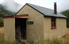 | Map |
| Titan Huts | -45.5447344102 | 168.973557055 | Map | |||
| Toaroha Saddle Bivouac | -43.0240082456 | 171.16473107 | Map | |||
| Toka Bivouac | -39.9831840619 | 176.072394493 | Map | |||
| Tokenui Hut | -38.2318807534 | 177.385993684 | Map | |||
| Tommys Cabin | -42.9565414522 | 172.48135281 | Map | |||
| Top Butler Hut | -43.4203968969 | 170.440404006 | Whataroa area | Standard | 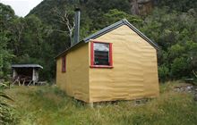 | Map |
| Top Crawford Hut | -42.9353308574 | 171.278800089 | Kokatahi River - Whitcombe River area | Basic/bivvies | 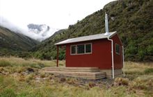 | Map |
| Top Crooked Hut | -42.7043709228 | 171.69106677 | Ahaura River and Lake Brunner catchments area | Basic/bivvies | 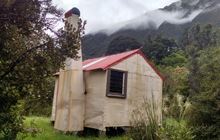 | Map |
| Top Dingle Hut | -44.2805471018 | 169.55622418 | Hāwea Conservation Park | Standard |  | Map |
| Top Forks Hut | -44.2743075871 | 168.891132431 | Mount Aspiring National Park | Serviced |  | Map |
| Top Gordon Hut | -41.9317381833 | 173.195262761 | Leatham Conservation Area | Standard |  | Map |
| Top Gorge Hut | -39.9674032421 | 176.104723049 | Ruahine Forest Park | Basic/bivvies |  | Map |
| Top Hope Hut | -42.5897567374 | 172.175499345 | Lake Sumner Forest Park | Basic/bivvies | 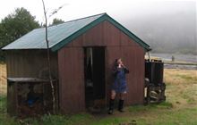 | Map |
| Top Hut | -44.1221028884 | 169.665050234 | Ahuriri Conservation Park | Basic/bivvies | Map | |
| Top Hut | -43.4207638179 | 171.028852625 | Hakatere Conservation Park | Basic/bivvies | Map | |
| Top Hut | -44.6744000821 | 169.808392312 | Oteake Conservation Park | Standard | 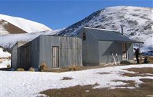 | Map |
| Top Kokatahi Hut | -42.9831106368 | 171.188957803 | Kokatahi River - Whitcombe River area | Basic/bivvies | 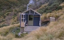 | Map |
| Top Leatham Hut | -41.9731618366 | 173.082059666 | Leatham Conservation Area | Standard | 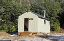 | Map |
| Top Maropea Hut | -39.7744596577 | 176.158128345 | Ruahine Forest Park | Basic/bivvies |  | Map |
| Top Misery Hut | -41.8840958887 | 172.994215719 | Leatham Conservation Area | Standard |  | Map |
| Top Mount Peel Huts | -43.8104158821 | 171.118080562 | Map | |||
| Top Olderog Bivouac | -42.8221458826 | 171.340215908 | Map | |||
| Top Robinson Hut | -42.4781612874 | 172.179309292 | Victoria Forest Park | Standard |  | Map |
| Top Timaru Hut | -44.4704718259 | 169.50136702 | Hāwea Conservation Park | Standard |  | Map |
| Top Toaroha Hut | -43.0133657562 | 171.153897435 | Kokatahi River - Whitcombe River area | Standard |  | Map |
| Top Trent / Lagoon Hut | -42.6997641353 | 171.832927984 | Map | |||
| Top Tuke Hut | -43.0897101464 | 170.889314213 | Mikonui River - Kakapotahi River area | Basic/bivvies |  | Map |
| Top Wairoa Hut | -41.6108071947 | 173.075408228 | Mount Richmond Forest Park | Standard |  | Map |
| Top Waitaha Hut | -43.1313943047 | 170.876499814 | Waitaha River area | Basic/bivvies |  | Map |
| Top Waitahu Bivouac | -42.2044091504 | 172.108061446 | Map | |||
| Top Whare | -41.8439841174 | 173.428562914 | Map | |||
| Totara Flats Hut | -40.932686146 | 175.403151037 | Tararua Forest Park | Serviced | 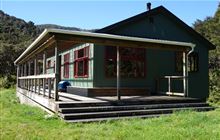 | Map |
| Townsend Hut | -42.7742731722 | 171.777537557 | Arthur's Pass National Park | Basic/bivvies | 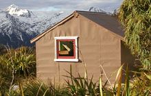 | Map |
| Trains Hut | -39.479574201 | 174.730124611 | WaitÅtara Conservation Area | Standard | 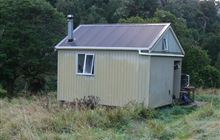 | Map |
| Traverse (A Frame) Hut | -40.1071625806 | 176.014031289 | Map | |||
| Trevor Carter Hut | -41.3980827256 | 172.390297148 | Kahurangi National Park | Standard | 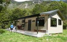 | Map |
| Triangle Hut | -39.9044057389 | 176.075567707 | Ruahine Forest Park | Standard |  | Map |
| Tribulation Hut | -43.455396432 | 171.45917194 | Hakatere Conservation Park | Basic/bivvies |  | Map |
| Trilobite Hut | -41.1302467455 | 172.609165071 | Cobb Valley, Kahurangi National Park | Standard |  | Map |
| Triplex Hut | -39.7933814617 | 176.198153589 | Ruahine Forest Park | Standard |  | Map |
[ A ] [ B ] [ C ] [ D ] [ E ] [ F ] [ G ] [ H ] [ I ] [ J ] [ K ] [ L ] [ M ] [ N ] [ O ] [ P ] [ Q ] [ R ] [ S ] [ T ] [ U ] [ V ] [ W ] [ Y ] [ Z ]