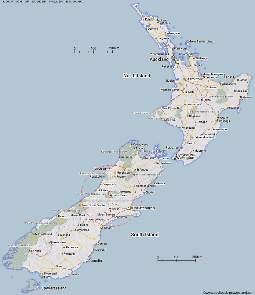
Topo Map showing location of Sudden Valley Bivouac
This information is sourced from DoC, LINZ and Openstreetmap. Some of the hut photos are mine and the rest are from DoC. I will be adding an upload feature soon so people can photos of .Sudden Valley Bivouac.
Latitude: -42.9496629805
Longitude: 171.704610759
Location:
Type of Hut:
Map: Topo Map | Road Map
Does this hut still exist? Have any more information? Contact
Latitude: -42.9496629805
Longitude: 171.704610759
Location:
Type of Hut:
Map: Topo Map | Road Map
Does this hut still exist? Have any more information? Contact
Scroll down to see a topographical map and road map showing the location of Sudden Valley Bivouac
[ A ] [ B ] [ C ] [ D ] [ E ] [ F ] [ G ] [ H ] [ I ] [ J ] [ K ] [ L ] [ M ] [ N ] [ O ] [ P ] [ Q ] [ R ] [ S ] [ T ] [ U ] [ V ] [ W ] [ Y ] [ Z ]
Closest 20 Huts to Sudden Valley Bivouac
These are as the crow fliesEdwards Hut 4.69km Hawdon Hut 4.86km Hawdon Shelter 5.46km Mingha Bivouac 6.77km East Hawdon Bivouac 8.03km Riversdale Hut 8.26km Goat Pass Hut 8.41km Andrews Shelter 8.72km Greyneys Shelter 10.07km Upper Deception Hut 10.2km Otehake Hut 10.25km Bealey Hut 11.05km Klondyke Shelter 11.06km Jacks Hut 12.33km Worsley Bivouac 12.65km Poulter Hut 14.06km Bealey Spur Hut 14.35km Lagoon Saddle A Frame Hut 14.41km Lagoon Saddle Hut 14.41km Crow Hut 15.28km Trust/Poulter Hut 15.43km Koropuku Hut 15.5km Poulter Bivouac 15.89km Cass Saddle Hut 16.41km Pfeifer Bivouac 16.59km Turnbull Bivouac 16.61km Anti Crow Hut 16.67km Waimakariri Falls Hut 18.01km West Harper Hut 18.48km Ranger Bivouac 18.8km Minchin Bivouac 19.26km Townsend Hut 20.39km Hunts Creek Hut 20.49km Carrington Hut 20.88km Hamilton Hut 20.89km Carroll Hut 21.62km Kiwi Hut 21.66km Bull Creek Hut 22.38km Old Julia Hut 23.45km Julia Hut 23.52km