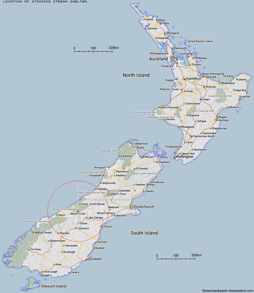
Topo Map showing location of Stocking Stream Shelter
This information is sourced from DoC, LINZ and Openstreetmap. Some of the hut photos are mine and the rest are from DoC. I will be adding an upload feature soon so people can photos of .Stocking Stream Shelter.
Latitude: -43.6984594969
Longitude: 170.097231907
Location:
Type of Hut:
Map: Topo Map | Road Map
Does this hut still exist? Have any more information? Contact
Latitude: -43.6984594969
Longitude: 170.097231907
Location:
Type of Hut:
Map: Topo Map | Road Map
Does this hut still exist? Have any more information? Contact
Scroll down to see a topographical map and road map showing the location of Stocking Stream Shelter
[ A ] [ B ] [ C ] [ D ] [ E ] [ F ] [ G ] [ H ] [ I ] [ J ] [ K ] [ L ] [ M ] [ N ] [ O ] [ P ] [ Q ] [ R ] [ S ] [ T ] [ U ] [ V ] [ W ] [ Y ] [ Z ]
Closest 20 Huts to Stocking Stream Shelter
These are as the crow fliesSefton Bivvy 2.08km Mueller Hut 3.59km Copland Shelter 4.83km Douglas Rock Hut 8.08km Caroline Hut 9.15km Harpers Rock Bivouac 9.56km Barron Saddle Hut 10.28km Ball Hut 11.13km Empress Hut 11.71km Reardon Hut 14.04km Horace Walker Hut 14.11km Welcome Flat Campsite 14.28km Welcome Flat Hut 14.31km Littles Hut 14.52km Plateau Hut 14.55km Haast Hut 15.15km Christmas Flat Hut 15.33km Green Point Hut 15.33km Waterfall Hut 17.34km Lame Duck Hut 18.53km Liebig Hut 18.83km Jollie Hut 19.01km Architect Creek Hut 19.54km Onslow Hut (Steffan Memorial Hut) 19.56km Pioneer Hut 19.82km Richardson Rock Bivouac 20.15km Chancellor Hut 20.94km Erceg Hut 22.03km Cassel Flat Hut 22.19km Kennedy Hut 22.87km Memorial Hut 23.2km Birdcage Hut 23.56km Centennial Hut 23.86km Tin Hut 24.58km Waterfall Hut 25.72km Ryders Hut 26.22km Almer Hut 26.47km Whale Stream Hut 27.52km Castle Rocks Hut 27.86km Dodger Hut 28.09km