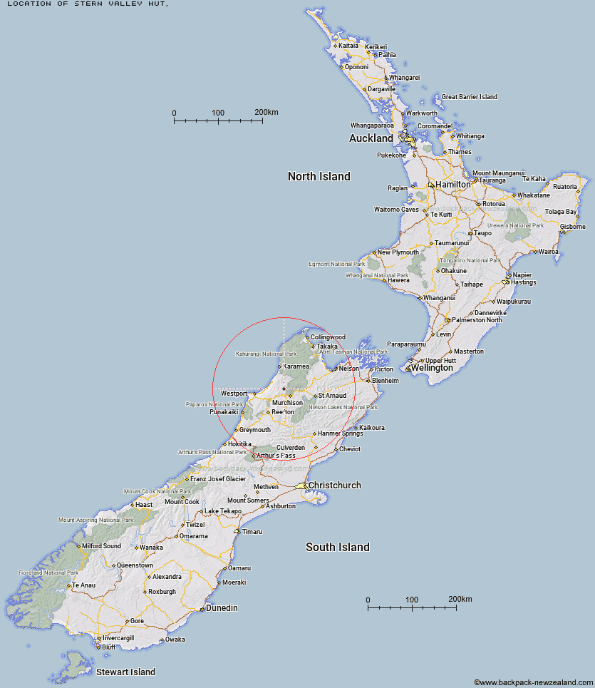
Topo Map showing location of Stern Valley Hut
This information is sourced from DoC, LINZ and Openstreetmap. Some of the hut photos are mine and the rest are from DoC. I will be adding an upload feature soon so people can photos of .Stern Valley Hut.
Latitude: -41.6636952797
Longitude: 172.198919795
Location:
Type of Hut:
Map: Topo Map | Road Map
Does this hut still exist? Have any more information? Contact
Latitude: -41.6636952797
Longitude: 172.198919795
Location:
Type of Hut:
Map: Topo Map | Road Map
Does this hut still exist? Have any more information? Contact
Scroll down to see a topographical map and road map showing the location of Stern Valley Hut
[ A ] [ B ] [ C ] [ D ] [ E ] [ F ] [ G ] [ H ] [ I ] [ J ] [ K ] [ L ] [ M ] [ N ] [ O ] [ P ] [ Q ] [ R ] [ S ] [ T ] [ U ] [ V ] [ W ] [ Y ] [ Z ]
Closest 20 Huts to Stern Valley Hut
These are as the crow fliesGhost Lake Hut 5.23km Goat Creek Hut 6.43km Lyell Saddle Hut 10.64km Lake Matiri Hut 10.94km Poor Pete's Hut 11.64km Mokihinui Forks Hut 12.96km Specimen Point Hut 13.79km Larrikin Creek Hut 15.1km McConchies Hut 16.15km Johnson Hut 22.75km Hurricane Hut 23.19km Branch Creek Hut 30.24km Helicopter Flat Hut 30.67km Stag Flat Shelter 30.79km Taipo Hut 31.06km Cecil Kings Hut 31.98km Kings Creek Hut 32.21km Wangapeka Bivouac 32.23km Trevor Carter Hut 33.56km Stone Hut 33.63km Granity Pass Hut 33.94km Belltown Manunui Hut 35.05km Kiwi Saddle Hut 37.68km Kākāpō Hut 37.85km Thor Hut 39.87km John Reid Hut 41.2km Tiraumea Hut 41.77km Venus Hut 43.46km Mole Hut 45.3km Wheel Creek Hut 45.62km D'Urville Hut 45.82km Crow Hut 46.91km Matakitaki Base Hut 47.3km Greys Hut 47.64km Sabine Hut 47.92km Mount Misery Hut 49.33km Morgan Hut 50.39km Speargrass Hut 50.46km Kirwans Hut 51.31km Nardoo Hut 51.84km