Topo Map showing location of Stanfield Hut
This information is sourced from DoC, LINZ and Openstreetmap. Some of the hut photos are mine and the rest are from DoC. I will be adding an upload feature soon so people can photos of .Stanfield Hut.
Basic info: standard eight-bunk hut in the Hawke's Bay region.
Latitude: -40.0880477607
Longitude: 176.04836643
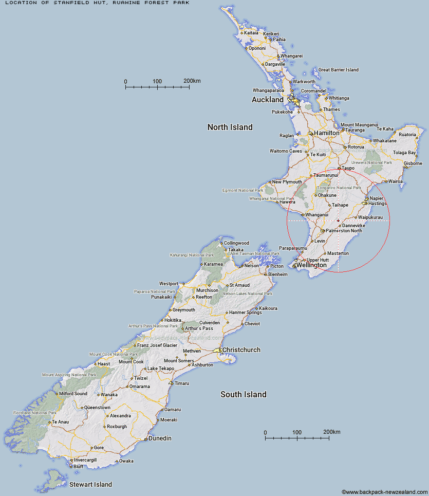
Location: Ruahine Forest Park
Area: Coromandel
Type of Hut: Standard
Tracks: Stanfield Hut Route
Map: BL36 Topo Map | Road Map
Does this hut still exist? Have any more information? Contact
Basic info: standard eight-bunk hut in the Hawke's Bay region.
Latitude: -40.0880477607
Longitude: 176.04836643
Location: Ruahine Forest Park
Area: Coromandel
Type of Hut: Standard
Tracks: Stanfield Hut Route
Map: BL36 Topo Map | Road Map
Does this hut still exist? Have any more information? Contact

Image: DoC
Scroll down to see a topographical map and road map showing the location of Stanfield Hut
[ A ] [ B ] [ C ] [ D ] [ E ] [ F ] [ G ] [ H ] [ I ] [ J ] [ K ] [ L ] [ M ] [ N ] [ O ] [ P ] [ Q ] [ R ] [ S ] [ T ] [ U ] [ V ] [ W ] [ Y ] [ Z ]
Closest 20 Huts to Stanfield Hut
These are as the crow fliesCattle Creek Hut 2.78km Traverse (A Frame) Hut 3.61km Mid Pohangina Hut 3.85km Ngamoko Hut 5.87km Piripiri Hut 6.06km Diggers Hut 7.99km Leon Kinvig Hut 9.63km Forks Hut 9.65km Te Ekaou Hut 10.65km Makaretu Hut 11.08km Toka Bivouac 11.84km Happy Daze Hut 12.85km Top Gorge Hut 14.25km Alice Nash Memorial Heritage Lodge 15.05km Awatere Hut 15.13km Kiritaki Hut 15.64km Longview Hut 16.45km Iron Gate Hut 17.93km Triangle Hut 20.55km Daphne Hut 21.09km Howletts Hut 21.48km Rangiwahia Hut 22.08km Tarn Bivouac 24.15km Pourangaki Hut 25.66km Kelly Knight Hut 26.46km Hinerua Hut 27.2km Smiths Stream Hut 28.53km Waterfall Hut 29.35km Purity Hut 29.78km Waikamaka Hut 31.59km Waipawa Forks Hut 33.94km McKinnon Hut 34.3km Sunrise Hut 34.94km Triplex Hut 35.17km Crow Hut 35.84km Top Maropea Hut 36.1km Kawhatau Base 36.46km Wakelings Hut 37.72km Gold Creek Hut 38.43km Norris Hut 39.03km