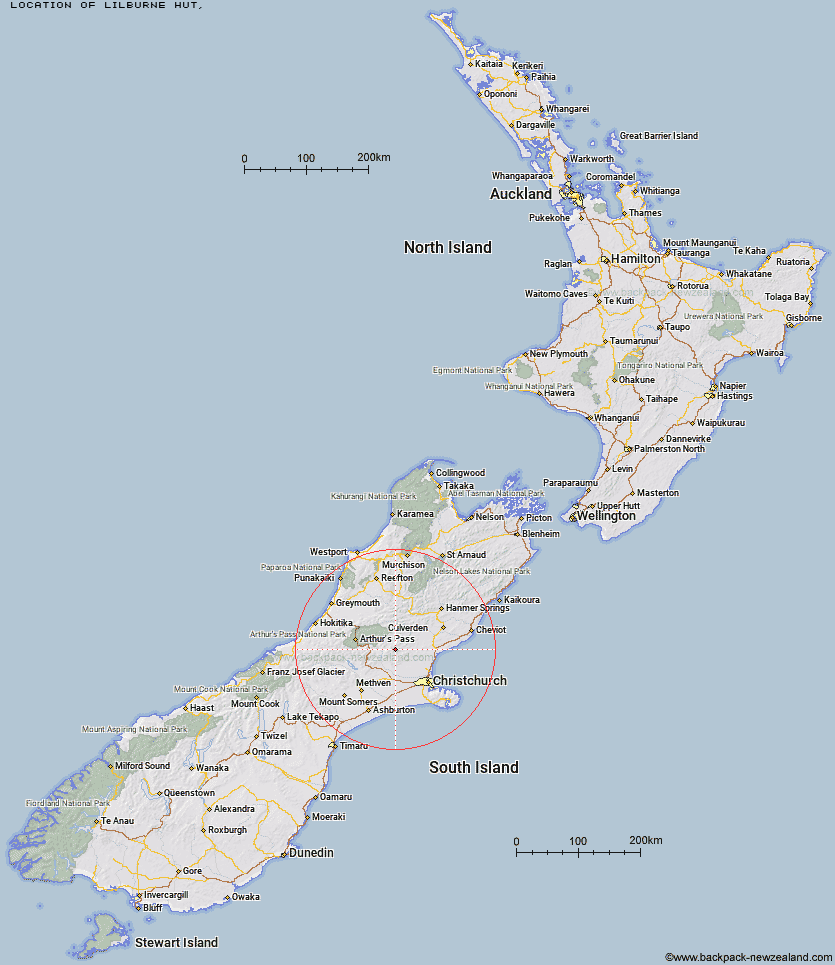
Topo Map showing location of Lilburne Hut
This information is sourced from DoC, LINZ and Openstreetmap. Some of the hut photos are mine and the rest are from DoC. I will be adding an upload feature soon so people can photos of .Lilburne Hut.
Latitude: -43.0754223684
Longitude: 172.14586508
Location:
Type of Hut:
Map: Topo Map | Road Map
Does this hut still exist? Have any more information? Contact
Latitude: -43.0754223684
Longitude: 172.14586508
Location:
Type of Hut:
Map: Topo Map | Road Map
Does this hut still exist? Have any more information? Contact
Scroll down to see a topographical map and road map showing the location of Lilburne Hut
[ A ] [ B ] [ C ] [ D ] [ E ] [ F ] [ G ] [ H ] [ I ] [ J ] [ K ] [ L ] [ M ] [ N ] [ O ] [ P ] [ Q ] [ R ] [ S ] [ T ] [ U ] [ V ] [ W ] [ Y ] [ Z ]
Closest 20 Huts to Lilburne Hut
These are as the crow fliesLilburne Hut 0km Tarn Hut 4.08km Youngman Stream Hut 6.34km Bob's Camp Bivouac 13.96km Puketeraki Bivouac 14.59km Hamilton Hut 15.32km Anna Hut 15.73km Cattle Creek Hut 15.81km Wharfedale Hut 16.07km Black Hill Hut 16.18km Lower Salmon Creek Bivouac 16.5km Pinchgut Hut 16.67km Lochinvar Hut 19.3km Anderson's Hut 19.36km Ant Stream Hut 20.38km Walker Hut 20.56km Esk Bivouac 20.96km Adams Hut 21.21km Seldom Inn Hut 22.31km Rosa Hut 22.48km Kinnebrooks Hut 22.82km Petticoat Junction Hut 23.32km Turnbull Bivouac 23.42km Ant Stream Bivouac 23.48km Bull Creek Hut 24.89km Deep Creek Hut 28.08km Broken River Hut 28.16km Candlesticks Bivouac 29.15km Bush Camp Hut 29.66km Andrews Shelter 30.08km Tommys Cabin 30.31km Riversdale Hut 30.96km North Esk Hut 31.2km Ranger Bivouac 31.77km Hawdon Shelter 33.84km Trust/Poulter Hut 34.79km Stony Stream Hut 35.41km East Hawdon Bivouac 35.85km Cass Saddle Hut 36.93km Upper South Branch Hurunui Hut 36.97km