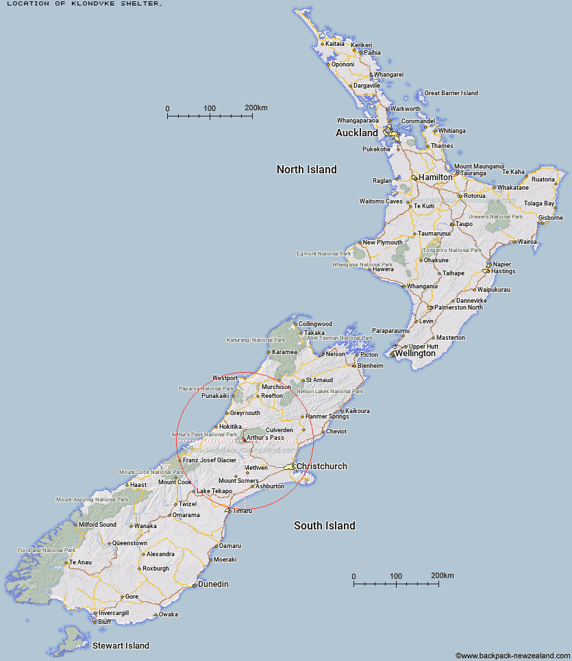
Topo Map showing location of Klondyke Shelter
This information is sourced from DoC, LINZ and Openstreetmap. Some of the hut photos are mine and the rest are from DoC. I will be adding an upload feature soon so people can photos of .Klondyke Shelter.
Latitude: -43.0022651375
Longitude: 171.589179273
Location:
Type of Hut:
Map: Topo Map | Road Map
Does this hut still exist? Have any more information? Contact
Latitude: -43.0022651375
Longitude: 171.589179273
Location:
Type of Hut:
Map: Topo Map | Road Map
Does this hut still exist? Have any more information? Contact
Scroll down to see a topographical map and road map showing the location of Klondyke Shelter
[ A ] [ B ] [ C ] [ D ] [ E ] [ F ] [ G ] [ H ] [ I ] [ J ] [ K ] [ L ] [ M ] [ N ] [ O ] [ P ] [ Q ] [ R ] [ S ] [ T ] [ U ] [ V ] [ W ] [ Y ] [ Z ]
Closest 20 Huts to Klondyke Shelter
These are as the crow fliesGreyneys Shelter 2km Bealey Spur Hut 3.76km Bealey Hut 5.81km Lagoon Saddle Hut 5.92km Lagoon Saddle A Frame Hut 5.97km Anti Crow Hut 6.33km Edwards Hut 8.25km Crow Hut 8.79km Mingha Bivouac 9.44km Jacks Hut 9.52km West Harper Hut 10.94km Sudden Valley Bivouac 11.06km Goat Pass Hut 11.57km Carrington Hut 12.38km Waimakariri Falls Hut 12.52km Hawdon Shelter 12.96km Upper Deception Hut 13.33km Cass Saddle Hut 13.45km Old Basins Hut 14km Avoca Hut 14.11km Basins Hut 14.22km Hamilton Hut 14.52km Riversdale Hut 15.44km Hawdon Hut 15.46km Barker Hut 15.65km Back Basin Hide 15.78km Andrews Shelter 16.6km Old Julia Hut 17.67km Julia Hut 17.74km Otehake Hut 18.89km East Hawdon Bivouac 19km Hunts Creek Hut 19.32km Park Morpeth Hut 20.4km Mid Taipo Hut 20.67km Weka Burnet Bivouac 21.18km Campbell Bivouac 22.22km Urquhart's Hut 22.4km Fanghill Hut 22.58km Dunns Creek Hut 22.77km Mudflats Hut 22.89km