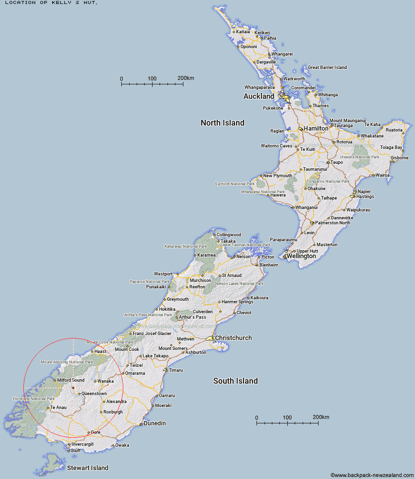
Topo Map showing location of Kelly's Hut
This information is sourced from DoC, LINZ and Openstreetmap. Some of the hut photos are mine and the rest are from DoC. I will be adding an upload feature soon so people can photos of .Kelly's Hut.
Latitude: -44.8703099883
Longitude: 168.484681487
Location:
Type of Hut:
Map: Topo Map | Road Map
Does this hut still exist? Have any more information? Contact
Latitude: -44.8703099883
Longitude: 168.484681487
Location:
Type of Hut:
Map: Topo Map | Road Map
Does this hut still exist? Have any more information? Contact
Scroll down to see a topographical map and road map showing the location of Kelly's Hut
[ A ] [ B ] [ C ] [ D ] [ E ] [ F ] [ G ] [ H ] [ I ] [ J ] [ K ] [ L ] [ M ] [ N ] [ O ] [ P ] [ Q ] [ R ] [ S ] [ T ] [ U ] [ V ] [ W ] [ Y ] [ Z ]
Closest 20 Huts to Kelly's Hut
These are as the crow fliesWallers Hut 1.97km Heather Jock Hut 2.9km Bonnie Jean Hut 3.06km Jean Hut 3.56km McIntyre's Hut 4.83km McIntosh Hut 4.84km Stoney Creek Hut 8.46km Butchers Hut 12.36km Archie's Hut - Copper Creek 14.59km Crystal Hut 15.07km Sainsburys Huts 15.23km Dynamo Hut 15.98km Green Gate Huts 16.6km Mid Caples Hut 16.84km Home Hill Hut 16.97km Bullendale Hut 17.5km Ballarat Hut - Flood Burn 18.99km Peats Hut 19.13km Slip Flat Hut 19.14km Sam Summers Hut 20.06km Kay Creek Hut 20.39km Upper Caples Hut 20.9km Greenstone Hut 21.28km Steele Creek Hut 22.27km Routeburn Shelter 23.42km Steele Creek Lodge 23.65km Rats Nest Hut 24.95km Twenty Five Mile Hut 25.56km Sixteen Mile Huts 25.58km Routeburn Flats Hut 26.65km McKellar Hut 26.77km McKellar Lodge 26.83km Lake Mackenzie Lodge 27.02km Lake Mackenzie Hut 27.06km Routeburn Falls Hut 27.65km Routeburn Falls Lodge 27.66km Earnslaw Hut 27.79km Eight Mile Hut 28.11km Lake Howden Hut 28.21km Taipo Hut 28.76km