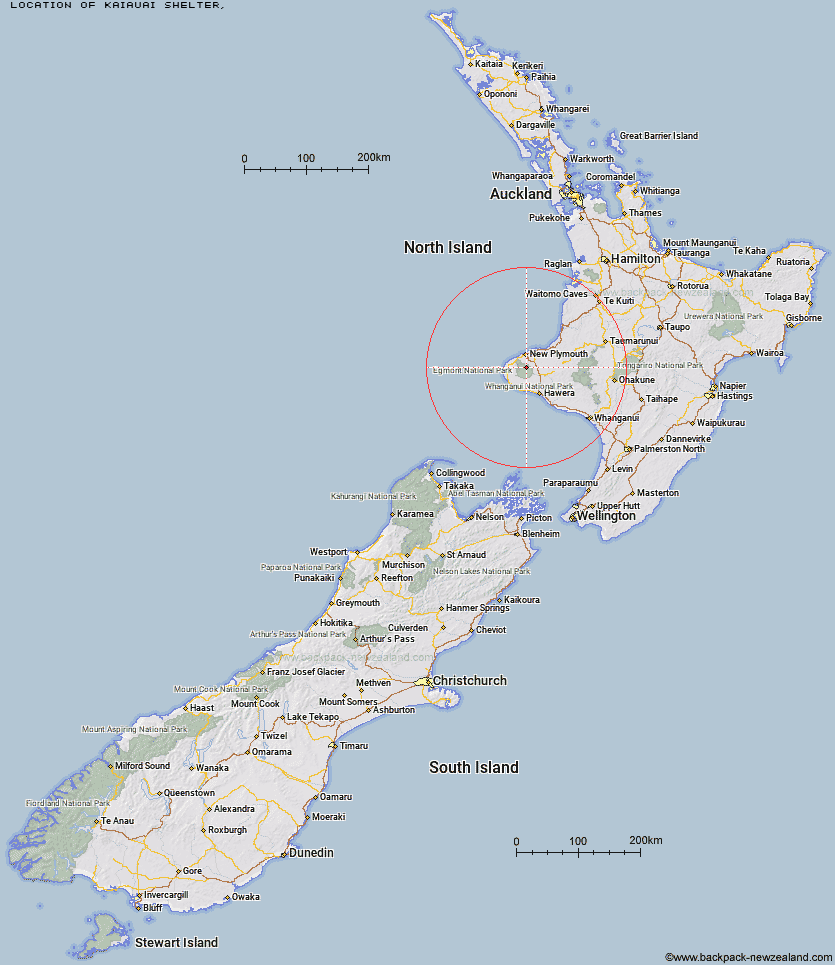
Topo Map showing location of Kaiauai Shelter
This information is sourced from DoC, LINZ and Openstreetmap. Some of the hut photos are mine and the rest are from DoC. I will be adding an upload feature soon so people can photos of .Kaiauai Shelter.
Latitude: -39.239344939
Longitude: 174.084834545
Location:
Type of Hut:
Map: Topo Map | Road Map
Does this hut still exist? Have any more information? Contact
Latitude: -39.239344939
Longitude: 174.084834545
Location:
Type of Hut:
Map: Topo Map | Road Map
Does this hut still exist? Have any more information? Contact
Scroll down to see a topographical map and road map showing the location of Kaiauai Shelter
[ A ] [ B ] [ C ] [ D ] [ E ] [ F ] [ G ] [ H ] [ I ] [ J ] [ K ] [ L ] [ M ] [ N ] [ O ] [ P ] [ Q ] [ R ] [ S ] [ T ] [ U ] [ V ] [ W ] [ Y ] [ Z ]
Closest 20 Huts to Kaiauai Shelter
These are as the crow fliesPouakai Hut 4.1km Holly Hut 4.29km Maketawa Hut 4.86km Syme Hut 7.96km Kahui Hut 8.59km Hooker Shelter 8.7km Waingongoro Hut 9.1km Lake Dive Hut 10.96km Waiaua Gorge Hut 11.83km Waiweranui Trust Hut 13.93km Omaru Hut 59.87km Trains Hut 61.57km Puteore Hut 62.35km Tahupo Hut 63.1km Rerekapa Hut 64.54km Pouri Hut 66.85km John Coull Hut 71.37km Ngapurua Hut 72.35km Puketotara Hut 77.71km Tieke Kainga 78.93km Ohuraiti Hut 84.66km Downes hut 104.88km Leitchs Hut 108.02km Ten Man Hut 120.14km Mangaturuturu Hut 122.15km Whakapapaiti Hut 123.4km Lupton Hut 124.14km Blyth Hut 124.38km Mangaehuehu Hut 126.62km Whangaehu Hut 129.56km Mangatepopo Hut 130.71km Rangipo Hut 132.66km Hauhungaroa Hut 135.31km Ketetahi Shelter 135.96km Old Waihohonu Hut 136.81km Waihohonu Hut 137.43km Oturere Hut 138.54km Hamilton Tomo Group Hut 140.08km Waihaha Hut 144.36km Zekes Hut 146.71km