Topo Map showing location of Grough Hut
This information is sourced from DoC, LINZ and Openstreetmap. Some of the hut photos are mine and the rest are from DoC. I will be adding an upload feature soon so people can photos of .Grough Hut.
Basic info: basic two-bunk hut in the Mackenzie Country and Waitaki area.
Latitude: -43.9334148438
Longitude: 169.946747169
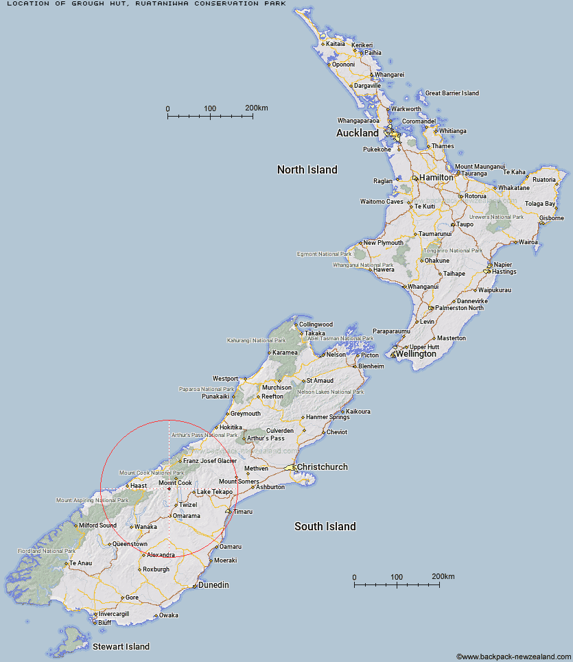
Location: Ruataniwha Conservation Park
Area: Canterbury
Type of Hut: Basic/bivvies
Map: BY15 Topo Map | Road Map
Does this hut still exist? Have any more information? Contact
Basic info: basic two-bunk hut in the Mackenzie Country and Waitaki area.
Latitude: -43.9334148438
Longitude: 169.946747169
Location: Ruataniwha Conservation Park
Area: Canterbury
Type of Hut: Basic/bivvies
Map: BY15 Topo Map | Road Map
Does this hut still exist? Have any more information? Contact
Scroll down to see a topographical map and road map showing the location of Grough Hut
[ A ] [ B ] [ C ] [ D ] [ E ] [ F ] [ G ] [ H ] [ I ] [ J ] [ K ] [ L ] [ M ] [ N ] [ O ] [ P ] [ Q ] [ R ] [ S ] [ T ] [ U ] [ V ] [ W ] [ Y ] [ Z ]
Closest 20 Huts to Grough Hut
These are as the crow fliesStation Hut 4.1km Kennedy Hut 6.08km Dodger Hut 6.83km Dasler Bivouac 8.46km Stony Stream Bivouac 8.81km Cullers Hut 8.92km Le Crens Hut 9.22km Elcho Hut 9.33km Erceg Hut 9.91km Whale Stream Hut 11.37km Red Hut 11.59km Waterfall Hut 11.63km Richardson Rock Bivouac 12.06km Monument Hut 14.76km Reardon Hut 15.1km Brodrick Hut 18.05km Main Huxley Forks Hut 18.22km Barron Saddle Hut 19.87km South Huxley Bivouac 20.68km Creswicke Flat Hut 20.68km Baikie Hut 21.58km Jollie Hut 22.08km Christmas Flat Hut 24.13km Maryburn Hut 24.9km Harpers Rock Bivouac 25.39km Mueller Hut 25.47km Lame Duck Hut 26km South Temple Hut 27.16km Horace Walker Hut 27.28km Green Point Hut 28.38km Stocking Stream Shelter 28.78km Forbes Hut 29.15km Sefton Bivvy 29.2km Top Hut 30.78km Telegraph Hut 31.12km Douglas Rock Hut 31.7km Cassel Flat Hut 32.05km Copland Shelter 33.26km Littles Hut 33.4km Welcome Flat Campsite 33.69km