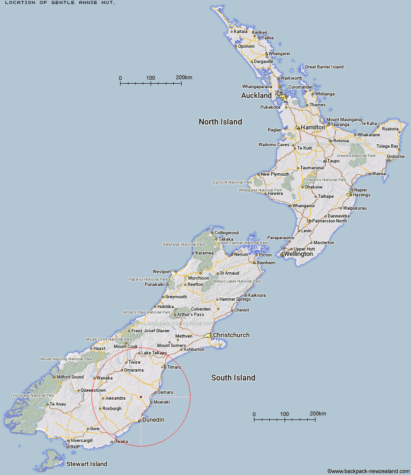
Topo Map showing location of Gentle Annie Hut
This information is sourced from DoC, LINZ and Openstreetmap. Some of the hut photos are mine and the rest are from DoC. I will be adding an upload feature soon so people can photos of .Gentle Annie Hut.
Latitude: -45.2174299382
Longitude: 170.538931617
Location:
Type of Hut:
Map: Topo Map | Road Map
Does this hut still exist? Have any more information? Contact
Latitude: -45.2174299382
Longitude: 170.538931617
Location:
Type of Hut:
Map: Topo Map | Road Map
Does this hut still exist? Have any more information? Contact
Scroll down to see a topographical map and road map showing the location of Gentle Annie Hut
[ A ] [ B ] [ C ] [ D ] [ E ] [ F ] [ G ] [ H ] [ I ] [ J ] [ K ] [ L ] [ M ] [ N ] [ O ] [ P ] [ Q ] [ R ] [ S ] [ T ] [ U ] [ V ] [ W ] [ Y ] [ Z ]
Closest 20 Huts to Gentle Annie Hut
These are as the crow fliesCayenne Hut 2.23km Grays Hut 5.54km Mitchells Hut 6.39km Bog Hut 7.43km Half Moon Hut 9.1km Mount Hut 9.38km Red Hut 10.29km Staircase Hut 13.91km Crumb Hut 14.98km Middle Hut 15.69km Balmoral Huts 21.93km Buster Hut 39.33km Leaning Lodge 41.86km Brown Hut 42.44km Big Hut 43.63km Tailings Hut 46.5km Hut Creek Hut 47.33km Bendoran Hut 50.32km Ida Railway Hut 50.83km Awakino Ski Field 52.11km Chimney Creek Hut 52.47km Wire Yards Hut 52.66km Christmas Creek Hut 54.93km Philip J Cox Memorial Hut 55.04km Jubilee Hut 56.3km Mt John Hut 56.49km Waitaki Huts 57.17km Howells Hut 58.55km Possum Hut 59.17km Poplar Hut 60.74km Canadian Hut 67.3km The Swamp Hut 67.52km Ben Rudds Hut 67.99km Pearson Hut 68.88km Tent Hut 72.65km Otamatapaio Hut 74.38km Boundary Creek Hut 76.48km Lauder Basin Hut 80.51km Top Hut 83.38km Richmond Hut 83.76km