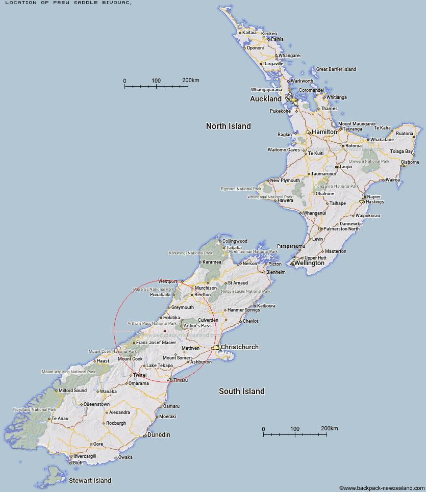
Topo Map showing location of Frew Saddle Bivouac
This information is sourced from DoC, LINZ and Openstreetmap. Some of the hut photos are mine and the rest are from DoC. I will be adding an upload feature soon so people can photos of .Frew Saddle Bivouac.
Latitude: -43.0768892503
Longitude: 171.091708049
Location:
Type of Hut:
Map: Topo Map | Road Map
Does this hut still exist? Have any more information? Contact
Latitude: -43.0768892503
Longitude: 171.091708049
Location:
Type of Hut:
Map: Topo Map | Road Map
Does this hut still exist? Have any more information? Contact
Scroll down to see a topographical map and road map showing the location of Frew Saddle Bivouac
[ A ] [ B ] [ C ] [ D ] [ E ] [ F ] [ G ] [ H ] [ I ] [ J ] [ K ] [ L ] [ M ] [ N ] [ O ] [ P ] [ Q ] [ R ] [ S ] [ T ] [ U ] [ V ] [ W ] [ Y ] [ Z ]
Closest 20 Huts to Frew Saddle Bivouac
These are as the crow fliesBluff Hut 4.4km Frew Hut 4.96km Frisco Hut 5.26km Sir Robert Hut 5.54km Canyon Creek Bivouac 6.16km Poet Hut 6.71km Serpentine Hut 7.12km Price Flat Hut 7.78km Price Flat Hut 7.8km Toaroha Saddle Bivouac 8.35km Top Toaroha Hut 8.69km Mullins Hut 9.28km Rapid Creek Hut 9.8km West Mathias Bivouac 9.97km Crystal Bivouac 10.23km Mungo Hut 10.27km Yeats Ridge Hut 11.29km Gerhardt Spur Bivouac 11.56km Centennial Cabin 11.94km Price Basin Hut 12.01km Wilkinson Hut 12.13km Moraine Hut 12.16km Mathias Hut 12.67km Top Kokatahi Hut 13.09km Adventure Bivouac 13.14km Cedar Flat Hut 13.37km Mikonui Spur Bivouac 13.65km Neave Hut 14.54km Unknown Stream Hut 14.83km Moa Stream Hut 14.9km Healey Creek Hut 14.97km Explorer Hut 15.14km Ivory Lake Hut 15.88km Top Tuke Hut 16.5km Pinnacle Bivouac 16.99km Crawford Junction Hut 17.38km Dickie Spur Hut 18.15km Top Waitaha Hut 18.49km Mikonui Flat Hut 18.6km Boo Boo Hut 18.66km