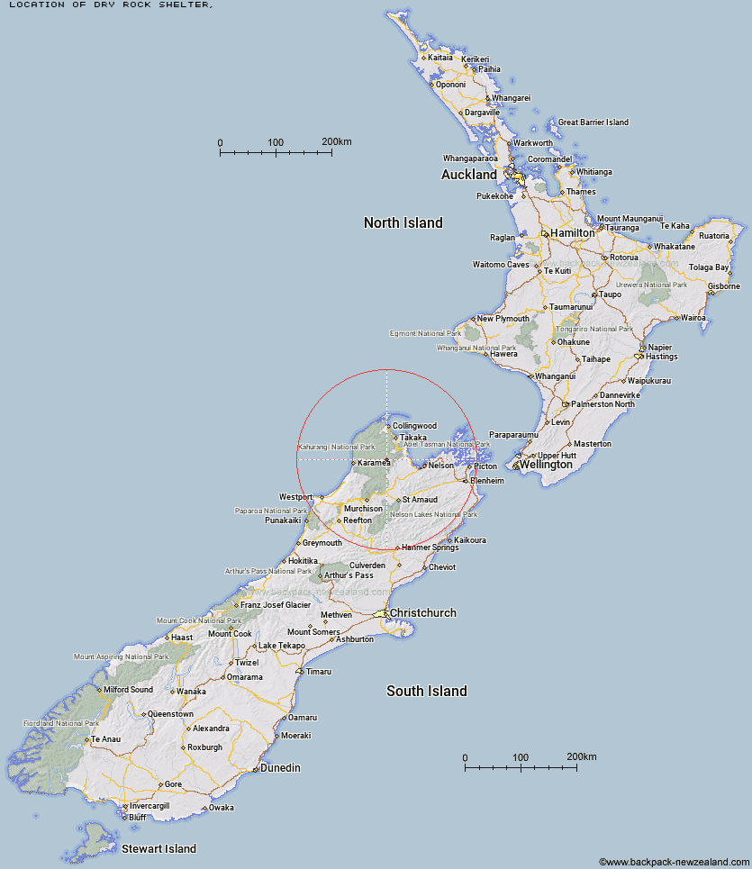
Topo Map showing location of Dry Rock Shelter
This information is sourced from DoC, LINZ and Openstreetmap. Some of the hut photos are mine and the rest are from DoC. I will be adding an upload feature soon so people can photos of .Dry Rock Shelter.
Latitude: -41.1777092631
Longitude: 172.660198863
Location:
Type of Hut:
Map: Topo Map | Road Map
Does this hut still exist? Have any more information? Contact
Latitude: -41.1777092631
Longitude: 172.660198863
Location:
Type of Hut:
Map: Topo Map | Road Map
Does this hut still exist? Have any more information? Contact
Scroll down to see a topographical map and road map showing the location of Dry Rock Shelter
[ A ] [ B ] [ C ] [ D ] [ E ] [ F ] [ G ] [ H ] [ I ] [ J ] [ K ] [ L ] [ M ] [ N ] [ O ] [ P ] [ Q ] [ R ] [ S ] [ T ] [ U ] [ V ] [ W ] [ Y ] [ Z ]
Closest 20 Huts to Dry Rock Shelter
These are as the crow fliesGrowler Rock Shelter 1.71km Upper Gridiron Hut and Rock Shelters 3.15km Balloon Hut 3.3km Mt Arthur Hut 5.15km Splugeons Rock Shelter 5.3km Myttons Hut 5.67km Flora Hut 5.87km Asbestos Cottage 5.96km Trilobite Hut 6.79km Ellis Hut 7.01km Sylvester Hut 8.08km Chaffey Hut 11.88km Flanagans Hut 11.95km Karamea Bend Hut 13.92km Waingaro Forks Hut 14.74km Tent Camp 16.17km Riordans Hut 16.25km Cobb Hut 17.65km Fenella Hut 18.19km Roaring Lion Hut 19.09km Soper Shelter 19.79km Tin Hut Shelter 19.92km Crow Hut 20.54km Lonely Lake Hut 23.32km Venus Hut 24.08km John Reid Hut 26.62km Anatoki Forks Hut 26.87km Thor Hut 26.93km Adelaide Tarn Hut 27.91km Kiwi Saddle Hut 29.01km Boulder Lake Hut 31.63km Stone Hut 32.71km Greys Hut 32.88km Trevor Carter Hut 33.3km Castle Rock Hut 34.39km Kākāpō Hut 34.42km Moa Park Shelter 35.27km Kings Creek Hut 35.31km Cecil Kings Hut 35.53km Helicopter Flat Hut 36.43km