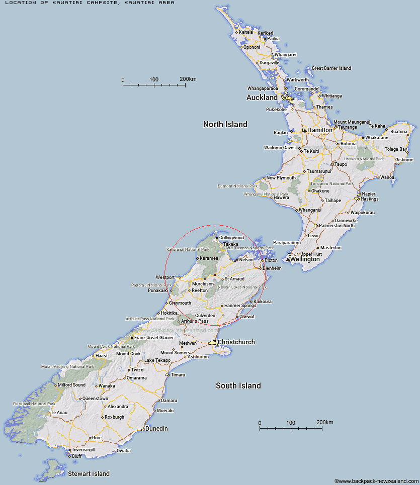
Map showing location of Kawatiri Campsite
Latitude: -41.69399144
Longitude: 172.6175611
Location: Kawatiri area, Nelson/Tasman
Cost: 18+ $8 :: 17 and under $4 :: 0 - 4 free
Access: Car,Campervan,Caravan
Facilities: Water from stream,Wheelchair accessible
DoC Page: Kawatiri Campsite
Longitude: 172.6175611
Location: Kawatiri area, Nelson/Tasman
Cost: 18+ $8 :: 17 and under $4 :: 0 - 4 free
Access: Car,Campervan,Caravan
Facilities: Water from stream,Wheelchair accessible
DoC Page: Kawatiri Campsite
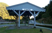
Image: DoC
Scroll down to see a more detailed map showing the location of Kawatiri Campsite
[ A ] [ B ] [ C ] [ D ] [ E ] [ F ] [ G ] [ H ] [ I ] [ J ] [ K ] [ L ] [ M ] [ N ] [ O ] [ P ] [ R ] [ S ] [ T ] [ U ]
Closest 20 Camping sites to Kawatiri Campsite
These are as the crow fliesLake Rotoroa Campsite 11.25km Teetotal Campsite 21.03km Kerr Bay Campsite 22.8km Courthouse Flat Campsite 25.49km Siberia Flat Campsite 28.08km Kowhai Point Campsite 41.22km Coldwater Stream Campsite 48.06km Lyell Campsite 48.54km Lake Tennyson Campsite 58.4km Cobb River Campsite 62.69km Molesworth Cob Cottage Campsite 69.35km Mill Flat Campsite 77.32km Kohaihai Campsite 77.9km Scotts Beach Campsite 79.79km Marble Hill Campsite 79.91km Deer Valley Campsite 81.1km Acheron Accommodation House Campsite 82.87km Katipo Creek Shelter Campsite 83.88km Slab Hut Creek Campsite 85.47km Tinline Campsite 85.5km Coquille Bay Campsite 85.56km Apple Tree Bay Campsite 86.35km Canaan Downs Campsite 86.6km Akersten Bay Campsite 87.82km Butchers Flat Campsite 88.64km Watering Cove Campsite 89.07km Heaphy Campsite 89.31km Anchorage Campsite 89.9km Perry Saddle Campsite 90.01km Aorere Shelter Campsite 90.12km Torrent Bay Village Campsite 90.36km Te Pukatea Bay Campsite 90.41km Pelorus Bridge Campground 90.8km Gouland Downs Campsite 92km Saxon Campsite 93.43km Boyle Campsite 93.44km Bark Bay Campsite 93.75km Onamalutu Campsite 94.28km Brown Campsite 94.89km James Mackay Campsite 95.88km