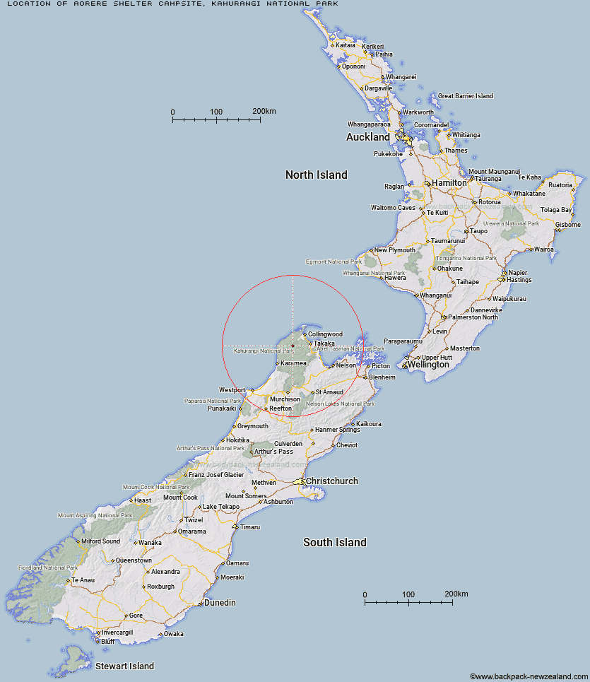
Map showing location of Aorere Shelter Campsite
Latitude: -40.8947
Longitude: 172.4389
Location: Kahurangi National Park, Nelson/Tasman
Cost: 18+ $14 :: 17 and under Free :: 0 - 4 Free
Access: Foot,Mountain bike
Facilities: Water from tap
DoC Page: Aorere Shelter Campsite
Longitude: 172.4389
Location: Kahurangi National Park, Nelson/Tasman
Cost: 18+ $14 :: 17 and under Free :: 0 - 4 Free
Access: Foot,Mountain bike
Facilities: Water from tap
DoC Page: Aorere Shelter Campsite
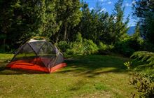
Image: DoC
Scroll down to see a more detailed map showing the location of Aorere Shelter Campsite
[ A ] [ B ] [ C ] [ D ] [ E ] [ F ] [ G ] [ H ] [ I ] [ J ] [ K ] [ L ] [ M ] [ N ] [ O ] [ P ] [ R ] [ S ] [ T ] [ U ]
Closest 20 Camping sites to Aorere Shelter Campsite
These are as the crow fliesPerry Saddle Campsite 3.1km Brown Campsite 4.99km Gouland Downs Campsite 7.22km Saxon Campsite 11km James Mackay Campsite 18.65km Heaphy Campsite 29.45km Cobb River Campsite 30.33km Katipo Creek Shelter Campsite 32.46km Scotts Beach Campsite 35.36km Kohaihai Campsite 36.98km Canaan Downs Campsite 38.43km Totaranui Great Walk Campsite 48.35km Anapai Bay Campsite 48.64km Waiharakeke Bay Campsite 48.75km Tinline Campsite 50.3km Coquille Bay Campsite 50.71km Apple Tree Bay Campsite 51.16km Torrent Bay Village Campsite 51.34km Bark Bay Campsite 51.49km Akersten Bay Campsite 51.84km Watering Cove Campsite 52.43km Anchorage Campsite 52.58km Te Pukatea Bay Campsite 52.92km Siberia Flat Campsite 62.13km Courthouse Flat Campsite 64.63km Kawatiri Campsite 90.12km Lake Rotoroa Campsite 100.88km Pelorus Bridge Campground 105km Teetotal Campsite 105.16km Lyell Campsite 105.48km Kowhai Point Campsite 106.87km Kerr Bay Campsite 106.91km Butchers Flat Campsite 110.59km Mill Flat Campsite 112.21km Harvey Bay Campsite 112.25km Elaine Bay Campsite 113.14km Nydia Campsite 116.17km Tawa Bay Campsite 117.98km French Pass Campsite 118km Mill Arm Campsite 118.05km