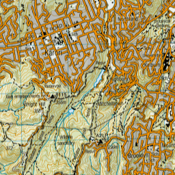
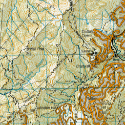
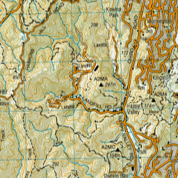
Map showing location of Whairepo Lagoon
LINZ description: The lagoon is an open public area, centrally located along the Wellington Waterfront. It is a small man-made sea water filled lagoon connected to Wellington Harbour (Port Nicholson) through a narrow channel and adjacent to Frank Kitts Park. It is surrounded by the Te Raukura Wharewaka Function Centre, City-to-Sea Bridge, and the Wellington Rowing and Star Boating Club buildings. Feature shown on: NZTopo50-BQ31 490277.
Latitude: -41.2886
Longitude: 174.779065
Northing: 5427678.5
Easting: 1748970.7
Land District: Wellington
Feat Type: Lake
Latitude: -41.2886
Longitude: 174.779065
Northing: 5427678.5
Easting: 1748970.7
Land District: Wellington
Feat Type: Lake

Scroll down to see a more detailed road map and below that a topographical map showing the location of Whairepo Lagoon. The road map has been supplied by openstreetmap and the topographical map of Whairepo Lagoon has been supplied by Land Information New Zealand (LINZ).
Yes you can use the top static map for you school/university project or personal website with a link back. Contact me for any commercial use.

Leaflet | Map data © OpenStreetMap contributors


Leaflet | Sourced from LINZ. CC BY 4.0
[ A ] [ B ] [ C ] [ D ] [ E ] [ F ] [ G ] [ H ] [ I ] [ J ] [ K ] [ L ] [ M ] [ N ] [ O ] [ P ] [ Q ] [ R ] [ S ] [ T ] [ U ] [ V ] [ W ] [ X ] [ Y ] [ Z ]


