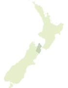
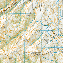
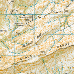
Map showing location of Waima River
LINZ description: Rises at Mt Misery, north of Chalk Range and flows mainly easterly into ocean.
Latitude: -41.882982
Longitude: 173.984531
Northing: 5362747.4
Easting: 1681686.2
Land District: Marlborough
Feat Type: Stream
Latitude: -41.882982
Longitude: 173.984531
Northing: 5362747.4
Easting: 1681686.2
Land District: Marlborough
Feat Type: Stream
Scroll down to see a more detailed road map and below that a topographical map showing the location of Waima River. The road map has been supplied by openstreetmap and the topographical map of Waima River has been supplied by Land Information New Zealand (LINZ).
Yes you can use the top static map for you school/university project or personal website with a link back. Contact me for any commercial use.


Leaflet | Map data © OpenStreetMap contributors
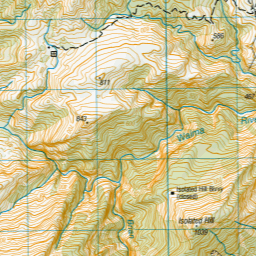
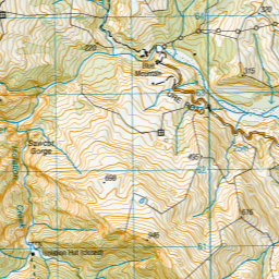
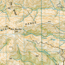
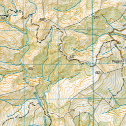
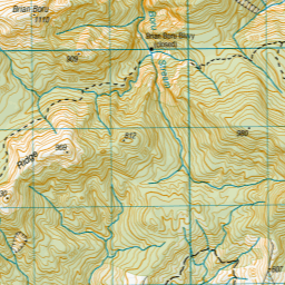
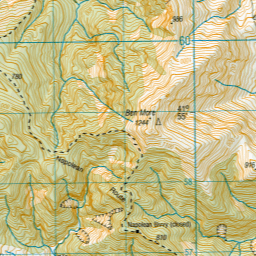
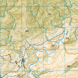
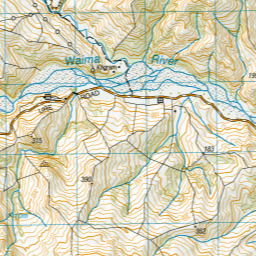
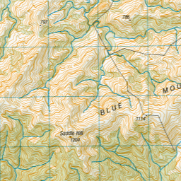
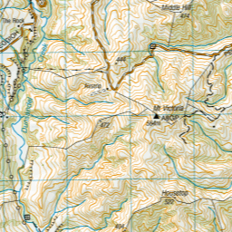
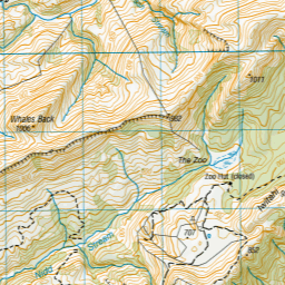
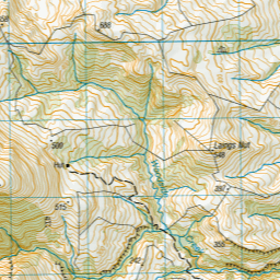
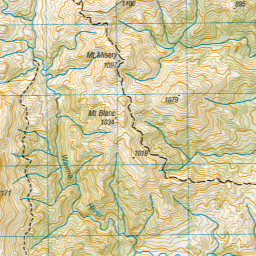
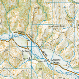
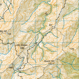
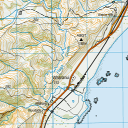

Leaflet | Sourced from LINZ. CC BY 4.0
[ A ] [ B ] [ C ] [ D ] [ E ] [ F ] [ G ] [ H ] [ I ] [ J ] [ K ] [ L ] [ M ] [ N ] [ O ] [ P ] [ Q ] [ R ] [ S ] [ T ] [ U ] [ V ] [ W ] [ X ] [ Y ] [ Z ]