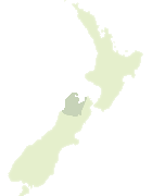
Map showing location of Turk Mountain
LINZ description: Peak (1846m) 5km South of the junction of Wairau and Rainbow Rivers. Block VIII Rainbow Survey District.
Latitude: -42.072807
Longitude: 172.893172
Northing: 5342134.5
Easting: 1591162.9
Land District: Nelson
Feat Type: Hill
Latitude: -42.072807
Longitude: 172.893172
Northing: 5342134.5
Easting: 1591162.9
Land District: Nelson
Feat Type: Hill
Scroll down to see a more detailed road map and below that a topographical map showing the location of Turk Mountain. The road map has been supplied by openstreetmap and the topographical map of Turk Mountain has been supplied by Land Information New Zealand (LINZ).
Yes you can use the top static map for you school/university project or personal website with a link back. Contact me for any commercial use.


Leaflet | Map data © OpenStreetMap contributors
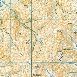
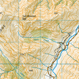
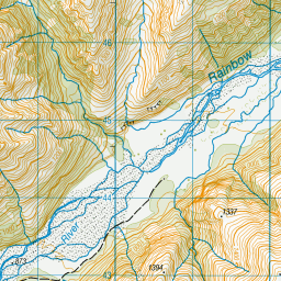
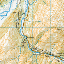
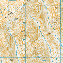
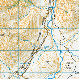
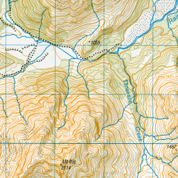
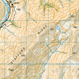
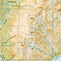
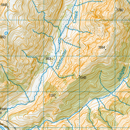
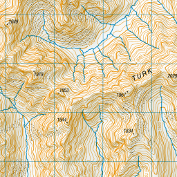
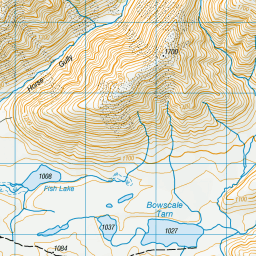
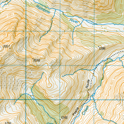
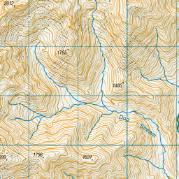
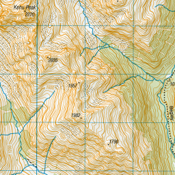
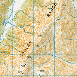
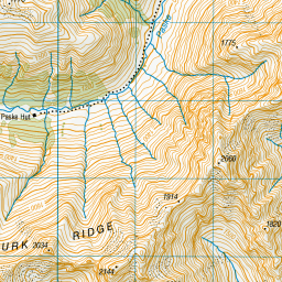


Leaflet | Sourced from LINZ. CC BY 4.0
[ A ] [ B ] [ C ] [ D ] [ E ] [ F ] [ G ] [ H ] [ I ] [ J ] [ K ] [ L ] [ M ] [ N ] [ O ] [ P ] [ Q ] [ R ] [ S ] [ T ] [ U ] [ V ] [ W ] [ X ] [ Y ] [ Z ]