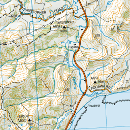
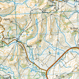
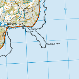
Map showing location of Tapuwae-o-rangokoko


LINZ description: Approximately 1km north from Poriokonohi Point.
Latitude: -38.596139
Longitude: 178.199261
Northing: 5715200
Easting: 2052900
Land District: Gisborne
Feat Type: Point
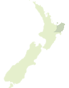

Scroll down to see a more detailed road map and below that a topographical map showing the location of Tapuwae-o-rangokoko. The road map has been supplied by openstreetmap and the topographical map of Tapuwae-o-rangokoko has been supplied by Land Information New Zealand (LINZ).

Yes you can use the top static map for you school/university project or personal website with a link back. Contact me for any commercial use.

Tapuwae-o-rangokoko Map New Zealand


New Zealand places in our database
[ A ] [ B ] [ C ] [ D ] [ E ] [ F ] [ G ] [ H ] [ I ] [ J ] [ K ] [ L ] [ M ] [ N ] [ O ] [ P ] [ Q ] [ R ] [ S ] [ T ] [ U ] [ V ] [ W ] [ X ] [ Y ] [ Z ]


Closest 20 Points to Tapuwae-o-rangokoko

Pariokonohi Point ( 1.02km )   Pariokanoki Point ( 1.02km )   Te Ana Paikea ( 3.92km )   Te Anaopaikea Point ( 3.92km )   Turihaua Point ( 4.4km )   Tatapouri Point ( 7.71km )   Gable End Foreland ( 11.03km )   Makarori Point ( 11.33km )   Makorori Point ( 11.33km )   Tuahina Point ( 16.79km )   Tuaheni Point ( 16.79km )   Young Nicks Head (Te Kuri) ( 26.62km )   Te Karaka Point ( 29.29km )   Pairau Point ( 31.56km )   Paerau Point ( 31.56km )   Mapiri ( 34.6km )   Mapere ( 34.6km )   Marau Point ( 37.16km )   Whareongaonga ( 38.09km )   Mawhai Point ( 48.84km )   Te Ariuru Point ( 55.54km )   Kotonui Point ( 55.78km )   Koutunui Point ( 55.78km )   Auroa Point ( 58.72km )   Kahutara Point ( 58.9km )   Putiki Point ( 59.42km )   Tuahuru Point ( 59.78km )   Mokotahi ( 61.85km )   Koatunui Head ( 62.4km )   Koutunui Head ( 62.4km )   Pokurakura Point ( 63.02km )   Whakatakahe Head ( 63.7km )   Te Kereu Point ( 64.12km )   Te Heruotaraia Point ( 68.06km )   Te Heru o Taraia Point ( 68.06km )   Otamarauiri Point ( 68.3km )   Otamarauri Point ( 68.3km )   Long Point (Taramahiti Point) ( 70.59km )   Upukuotangata Point ( 71.16km )   Waikahawai Point ( 72.37km )