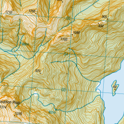
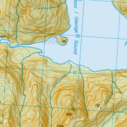
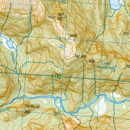
Map showing location of South-West Basin
LINZ description: George Sound Basin
Latitude: -44.975
Longitude: 167.405
Northing: 5004577.9
Easting: 1158835.9
Land District: Southland
Feat Type: Basin
Latitude: -44.975
Longitude: 167.405
Northing: 5004577.9
Easting: 1158835.9
Land District: Southland
Feat Type: Basin

Scroll down to see a more detailed road map and below that a topographical map showing the location of South-West Basin. The road map has been supplied by openstreetmap and the topographical map of South-West Basin has been supplied by Land Information New Zealand (LINZ).
Yes you can use the top static map for you school/university project or personal website with a link back. Contact me for any commercial use.

Leaflet | Map data © OpenStreetMap contributors


Leaflet | Sourced from LINZ. CC BY 4.0
[ A ] [ B ] [ C ] [ D ] [ E ] [ F ] [ G ] [ H ] [ I ] [ J ] [ K ] [ L ] [ M ] [ N ] [ O ] [ P ] [ Q ] [ R ] [ S ] [ T ] [ U ] [ V ] [ W ] [ X ] [ Y ] [ Z ]


