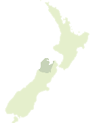
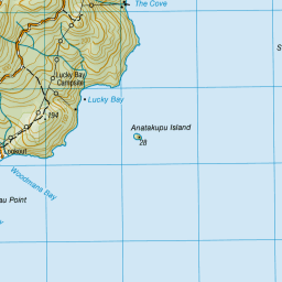
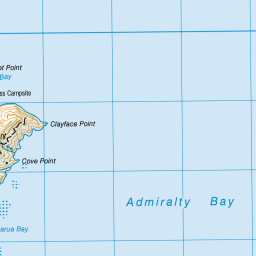
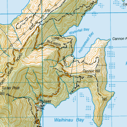
Map showing location of Ruruku
LINZ description: For name of locality at The Cove, south west of Catherine Cove.
Latitude: -40.880255
Longitude: 173.866634
Northing: 5474174.1
Easting: 1673017.4
Land District: Nelson
Feat Type: Locality
Latitude: -40.880255
Longitude: 173.866634
Northing: 5474174.1
Easting: 1673017.4
Land District: Nelson
Feat Type: Locality
Scroll down to see a more detailed road map and below that a topographical map showing the location of Ruruku. The road map has been supplied by openstreetmap and the topographical map of Ruruku has been supplied by Land Information New Zealand (LINZ).
Yes you can use the top static map for you school/university project or personal website with a link back. Contact me for any commercial use.


Leaflet | Map data © OpenStreetMap contributors
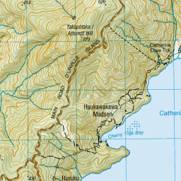
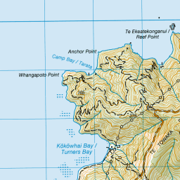
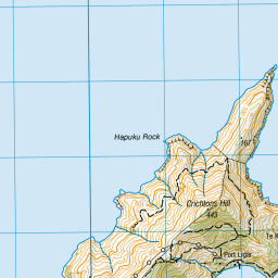

Leaflet | Sourced from LINZ. CC BY 4.0
[ A ] [ B ] [ C ] [ D ] [ E ] [ F ] [ G ] [ H ] [ I ] [ J ] [ K ] [ L ] [ M ] [ N ] [ O ] [ P ] [ Q ] [ R ] [ S ] [ T ] [ U ] [ V ] [ W ] [ X ] [ Y ] [ Z ]