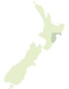
Map showing location of Ruakituri Stream
LINZ description: Rises in Springhill Forest and flows south-easterly into Coquet Stream.
Latitude: -39.108032
Longitude: 177.157244
Northing: 5663000
Easting: 1959500
Land District: Hawke's Bay
Feat Type: Stream
Latitude: -39.108032
Longitude: 177.157244
Northing: 5663000
Easting: 1959500
Land District: Hawke's Bay
Feat Type: Stream
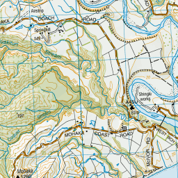
Scroll down to see a more detailed road map and below that a topographical map showing the location of Ruakituri Stream. The road map has been supplied by openstreetmap and the topographical map of Ruakituri Stream has been supplied by Land Information New Zealand (LINZ).
Yes you can use the top static map for you school/university project or personal website with a link back. Contact me for any commercial use.


Leaflet | Map data © OpenStreetMap contributors
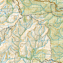
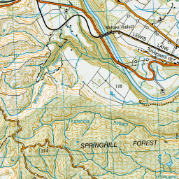
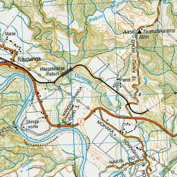
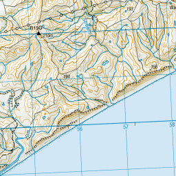
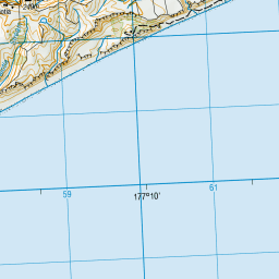
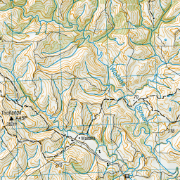
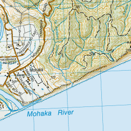
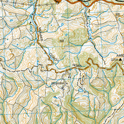
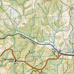
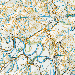
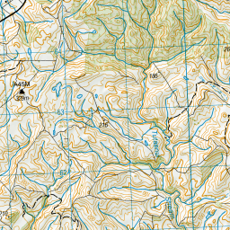
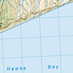
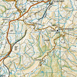
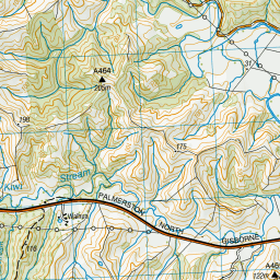
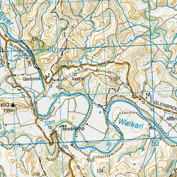

Leaflet | Sourced from LINZ. CC BY 4.0
[ A ] [ B ] [ C ] [ D ] [ E ] [ F ] [ G ] [ H ] [ I ] [ J ] [ K ] [ L ] [ M ] [ N ] [ O ] [ P ] [ Q ] [ R ] [ S ] [ T ] [ U ] [ V ] [ W ] [ X ] [ Y ] [ Z ]