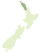
Map showing location of Pacific Bay
LINZ description: Bay immediately east of Kowharewa Bay, on the southern shore of Tutukaka Harbour, nearest the harbour entrance. Block IV Whangarei Survey District.
Latitude: -35.618672
Longitude: 174.536016
Northing: 6057258.9
Easting: 1739106.2
Land District: North Auckland
Feat Type: Bay
Latitude: -35.618672
Longitude: 174.536016
Northing: 6057258.9
Easting: 1739106.2
Land District: North Auckland
Feat Type: Bay
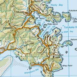
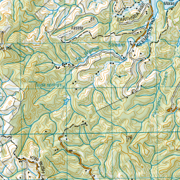
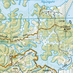
Scroll down to see a more detailed road map and below that a topographical map showing the location of Pacific Bay. The road map has been supplied by openstreetmap and the topographical map of Pacific Bay has been supplied by Land Information New Zealand (LINZ).
Yes you can use the top static map for you school/university project or personal website with a link back. Contact me for any commercial use.


Leaflet | Map data © OpenStreetMap contributors
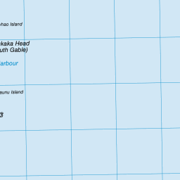
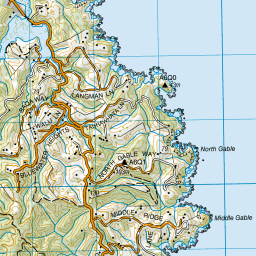

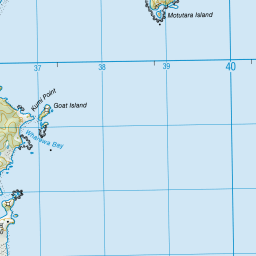
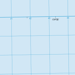


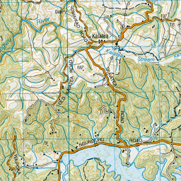

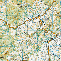

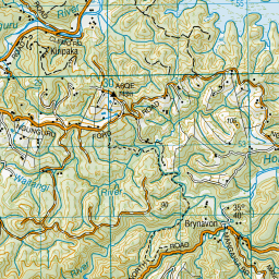

Leaflet | Sourced from LINZ. CC BY 4.0
[ A ] [ B ] [ C ] [ D ] [ E ] [ F ] [ G ] [ H ] [ I ] [ J ] [ K ] [ L ] [ M ] [ N ] [ O ] [ P ] [ Q ] [ R ] [ S ] [ T ] [ U ] [ V ] [ W ] [ X ] [ Y ] [ Z ]