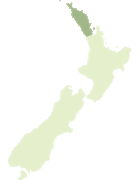
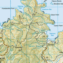
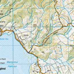
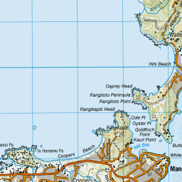
Map showing location of Okaituna Bay
LINZ description: Feature shown on: NZMS260 O04 Edition 1 1984
Latitude: -34.927528
Longitude: 173.570778
Northing: 6134845.1
Easting: 1652130.6
Land District: North Auckland
Feat Type: Bay
Latitude: -34.927528
Longitude: 173.570778
Northing: 6134845.1
Easting: 1652130.6
Land District: North Auckland
Feat Type: Bay
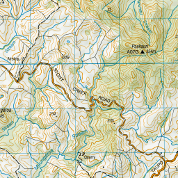
Scroll down to see a more detailed road map and below that a topographical map showing the location of Okaituna Bay. The road map has been supplied by openstreetmap and the topographical map of Okaituna Bay has been supplied by Land Information New Zealand (LINZ).
Yes you can use the top static map for you school/university project or personal website with a link back. Contact me for any commercial use.


Leaflet | Map data © OpenStreetMap contributors
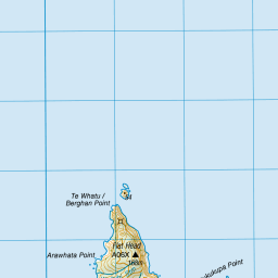

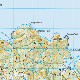


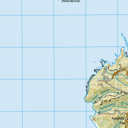
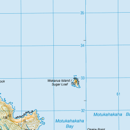

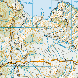

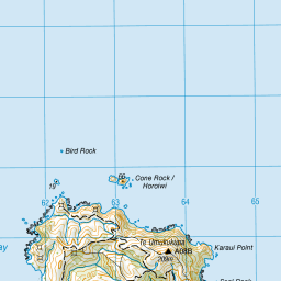
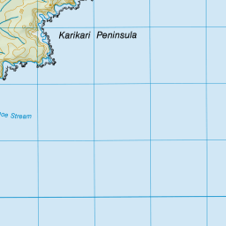

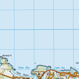
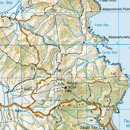

Leaflet | Sourced from LINZ. CC BY 4.0
[ A ] [ B ] [ C ] [ D ] [ E ] [ F ] [ G ] [ H ] [ I ] [ J ] [ K ] [ L ] [ M ] [ N ] [ O ] [ P ] [ Q ] [ R ] [ S ] [ T ] [ U ] [ V ] [ W ] [ X ] [ Y ] [ Z ]