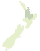
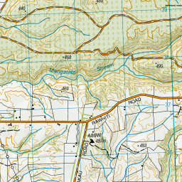
Map showing location of Mangaminge
LINZ description: Locality east of Tahorakuri Forest.
Latitude: -38.501293
Longitude: 176.300184
Northing: 5733400
Easting: 1887800
Land District: South Auckland
Feat Type: Locality
Latitude: -38.501293
Longitude: 176.300184
Northing: 5733400
Easting: 1887800
Land District: South Auckland
Feat Type: Locality
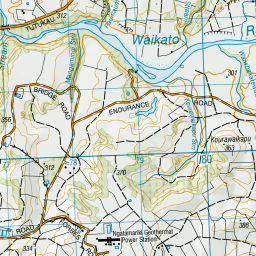
Scroll down to see a more detailed road map and below that a topographical map showing the location of Mangaminge. The road map has been supplied by openstreetmap and the topographical map of Mangaminge has been supplied by Land Information New Zealand (LINZ).
Yes you can use the top static map for you school/university project or personal website with a link back. Contact me for any commercial use.


Leaflet | Map data © OpenStreetMap contributors
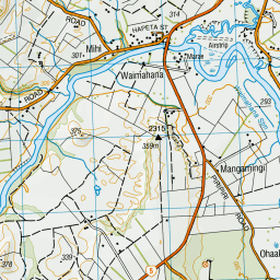
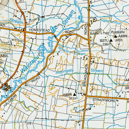
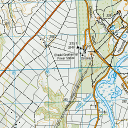
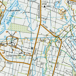
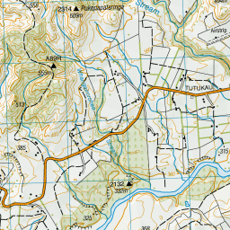
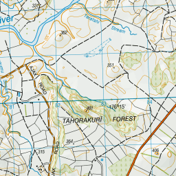
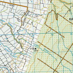
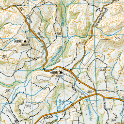
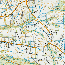
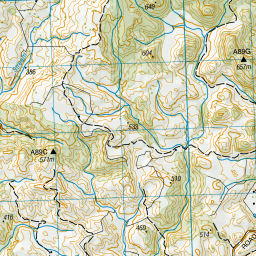
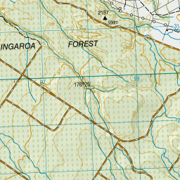

Leaflet | Sourced from LINZ. CC BY 4.0
[ A ] [ B ] [ C ] [ D ] [ E ] [ F ] [ G ] [ H ] [ I ] [ J ] [ K ] [ L ] [ M ] [ N ] [ O ] [ P ] [ Q ] [ R ] [ S ] [ T ] [ U ] [ V ] [ W ] [ X ] [ Y ] [ Z ]