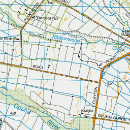
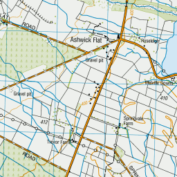
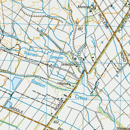
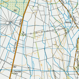
Map showing location of Lake Opuha
LINZ description: Approximately 12 km north of Fairlie, near the confluence of South Opuha River, Ribbonwood Creek, and North Opuha River, and east of Clayton Road. Topo50 map BY18 - Ashwick Flat, GR 296 271. A man made lake based on the confluence of the North and South Opuha Rivers, to the east of Fairlie. The lake was formed behind a dam constructed in 1992 as an irrigation reservoir and small hydro electric plant. The resultant lake formed is now predominately used for recreational water activities such as fishing, boating and water skiing.
Latitude: -43.989017
Longitude: 170.875827
Northing: 5127153.5
Easting: 1429663.4
Land District: Canterbury
Feat Type: Lake
Latitude: -43.989017
Longitude: 170.875827
Northing: 5127153.5
Easting: 1429663.4
Land District: Canterbury
Feat Type: Lake

Scroll down to see a more detailed road map and below that a topographical map showing the location of Lake Opuha. The road map has been supplied by openstreetmap and the topographical map of Lake Opuha has been supplied by Land Information New Zealand (LINZ).
Yes you can use the top static map for you school/university project or personal website with a link back. Contact me for any commercial use.

Leaflet | Map data © OpenStreetMap contributors


Leaflet | Sourced from LINZ. CC BY 4.0
[ A ] [ B ] [ C ] [ D ] [ E ] [ F ] [ G ] [ H ] [ I ] [ J ] [ K ] [ L ] [ M ] [ N ] [ O ] [ P ] [ Q ] [ R ] [ S ] [ T ] [ U ] [ V ] [ W ] [ X ] [ Y ] [ Z ]


