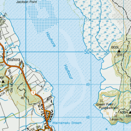
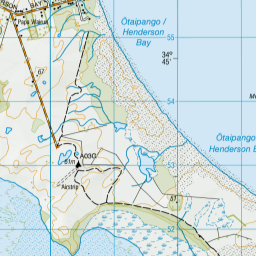
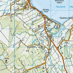
Map showing location of Green Point


LINZ description: South of Berghan Point
Latitude: -34.807466
Longitude: 173.131198
Northing: 6148300
Easting: 1612000
Land District: North Auckland
Feat Type: Point


Scroll down to see a more detailed road map and below that a topographical map showing the location of Green Point. The road map has been supplied by openstreetmap and the topographical map of Green Point has been supplied by Land Information New Zealand (LINZ).

Yes you can use the top static map for you school/university project or personal website with a link back. Contact me for any commercial use.
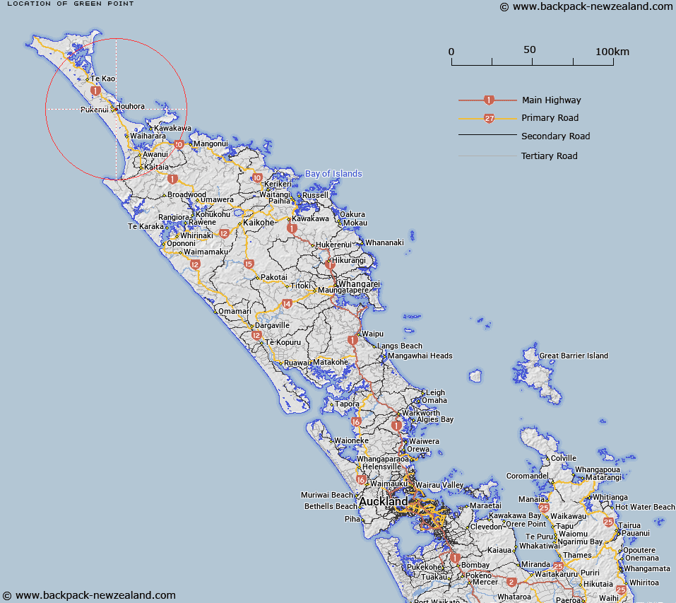
Green Point Map New Zealand


New Zealand places in our database
[ A ] [ B ] [ C ] [ D ] [ E ] [ F ] [ G ] [ H ] [ I ] [ J ] [ K ] [ L ] [ M ] [ N ] [ O ] [ P ] [ Q ] [ R ] [ S ] [ T ] [ U ] [ V ] [ W ] [ X ] [ Y ] [ Z ]


Closest 20 Points to Green Point

Green Point (Pungawiriwiri) ( 0.13km )   Monkey Point ( 1.47km )   Jackson Point ( 3.66km )   Perforated Point ( 3.75km )   Farmer Point ( 3.87km )   Stanley Point ( 3.93km )   Perpendicular Point (Ruakoura) ( 3.98km )   Ruak?ura / Perpendicular Point ( 3.98km )   Grenville Point ( 5.15km )   Granville Point ( 5.15km )   Henderson Point ( 7.87km )   Wharek?pu / Paxton Point ( 12.4km )   Paxton Point ( 12.4km )   Blackney Point ( 15.39km )   Koura Point ( 15.88km )   Otiaia Point ( 16.16km )   Kotiatia Point ( 16.47km )   Kuaka Point ( 17.19km )   Wairakia Point ( 17.77km )   Maraewhiti Point ( 23.32km )   Taumatara Point ( 23.32km )   Prices Point ( 23.33km )   Waipapa Point ( 24.29km )   Pumanawa Point ( 24.29km )   Cape Karikari (Whakapouaka) ( 24.36km )   Kohotutea Point ( 25.46km )   Ohautetea Point ( 25.46km )   Te Rae o te Rakau ( 25.7km )   Black Point ( 25.7km )   Jolliffe Point ( 25.86km )   Maitai Point ( 25.86km )   Omahuri ( 25.89km )   Long Point ( 25.96km )   Matawherohia Point ( 26.11km )   Te Karaka Point ( 26.39km )   Patia Point ( 26.41km )   Te Arai Point ( 26.48km )   Horoiwi Point ( 26.51km )   Takini Point ( 26.79km )   Taraere Point ( 28.29km )