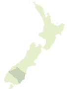
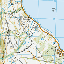
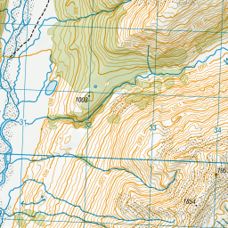
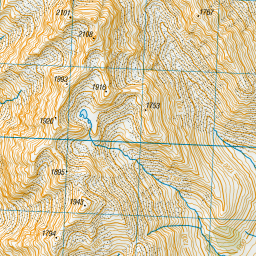
Map showing location of Dumb-bell Lake
LINZ description: Feature shown on: NZMS260 H38 Edition 1 1991
Latitude: -44.242139
Longitude: 169.76175
Northing: 5096132
Easting: 1341430.6
Land District: Otago
Feat Type: Lake
Latitude: -44.242139
Longitude: 169.76175
Northing: 5096132
Easting: 1341430.6
Land District: Otago
Feat Type: Lake
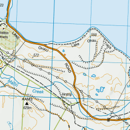
Scroll down to see a more detailed road map and below that a topographical map showing the location of Dumb-bell Lake. The road map has been supplied by openstreetmap and the topographical map of Dumb-bell Lake has been supplied by Land Information New Zealand (LINZ).
Yes you can use the top static map for you school/university project or personal website with a link back. Contact me for any commercial use.


Leaflet | Map data © OpenStreetMap contributors
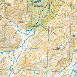
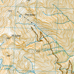
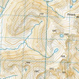
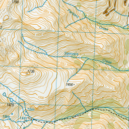
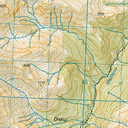
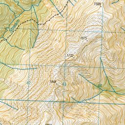
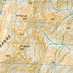
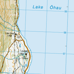
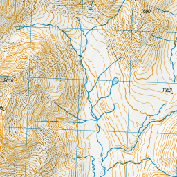
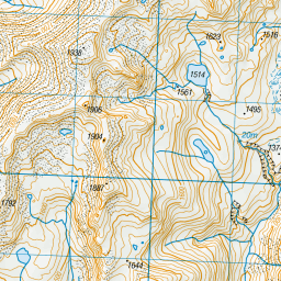
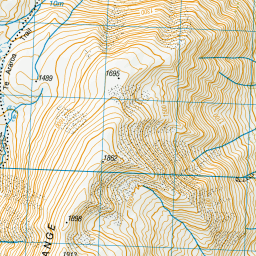
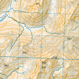
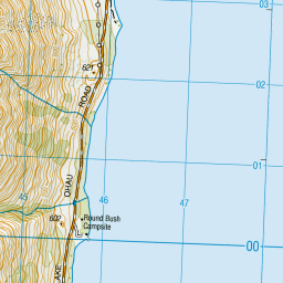

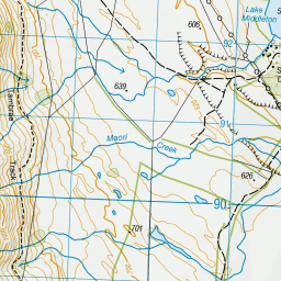
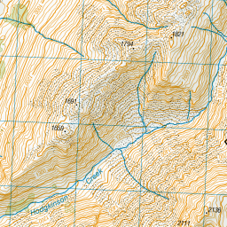
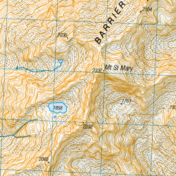
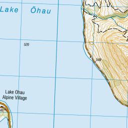

Leaflet | Sourced from LINZ. CC BY 4.0
[ A ] [ B ] [ C ] [ D ] [ E ] [ F ] [ G ] [ H ] [ I ] [ J ] [ K ] [ L ] [ M ] [ N ] [ O ] [ P ] [ Q ] [ R ] [ S ] [ T ] [ U ] [ V ] [ W ] [ X ] [ Y ] [ Z ]