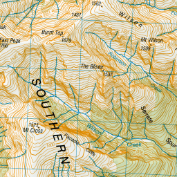
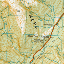
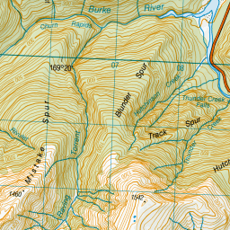
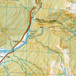
Map showing location of Blue Duck Flat
LINZ description: Feature shown on: NZMS260 G38 Edition 1 1989
Latitude: -44.092194
Longitude: 169.368
Northing: 5111470.7
Easting: 1309252.5
Land District: Westland
Feat Type: Flat
Latitude: -44.092194
Longitude: 169.368
Northing: 5111470.7
Easting: 1309252.5
Land District: Westland
Feat Type: Flat

Scroll down to see a more detailed road map and below that a topographical map showing the location of Blue Duck Flat. The road map has been supplied by openstreetmap and the topographical map of Blue Duck Flat has been supplied by Land Information New Zealand (LINZ).
Yes you can use the top static map for you school/university project or personal website with a link back. Contact me for any commercial use.

Leaflet | Map data © OpenStreetMap contributors


Leaflet | Sourced from LINZ. CC BY 4.0
[ A ] [ B ] [ C ] [ D ] [ E ] [ F ] [ G ] [ H ] [ I ] [ J ] [ K ] [ L ] [ M ] [ N ] [ O ] [ P ] [ Q ] [ R ] [ S ] [ T ] [ U ] [ V ] [ W ] [ X ] [ Y ] [ Z ]


